Dec 08, 2005 - Sale 2060

Sale 2060 - Lot 49

Price Realized: $ 8,625
?Final Price Realized includes Buyer’s Premium added to Hammer Price
Estimate: $ 10,000 - $ 15,000
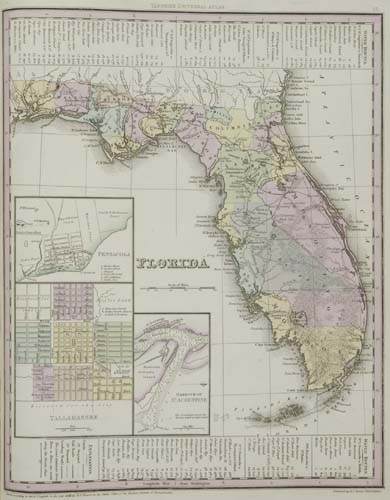
TANNER, HENRY SCHENCK. Atlas of the United States: Containing Maps of each of the States, in the North American Union. 25 hand-colored engraved mapsheets, with 14 maps dated 1836. Folio, 400x315 mm, publisher's 1/2 roan over patterned cloth, with the original leather title label on the front cover; exceptionally bright and clean internally; slipcase. Philadelphia, [1836]

Additional Details


Unrecorded atlas by Henry Schenck Tanner. The maps in this atlas are a subset of the maps in Tanner's New Universal Atlas - 1 map of the United States and 24 maps of the individual States. The Library of Congress has a copy of an Atlas of the United States with 24 maps by H. S. Tanner dated 1835 on the title page - Phillips Atlases 1380. It is the precursor of the atlas here, most likely Tanner's first attempt to produce a less expensive variant of the New Universal Atlas which cost $15. As with the atlas here, the maps in the 1835 atlas are a subset of the maps in Tanner's New Universal Atlas. However, only the 24 state maps are included and there is no map of the United States. Most importantly, the format of the 1835 atlas is quite different than the one here. The 1835 atlas was designed from the beginning to be of large octavo size, with every map folded in half and attached to the spine by a guard at centerfold. Thus, both the title page and contents page in the 1835 atlas are on large octavo sheets - half the size of the maps. In the 1835 atlas the maps are enumerated in Arabic numerals 5 through 28 in the Table of Contents. In the atlas here the 25 maps are enumerated on the Contents sheet in Roman numbers I through XXV on the left and in Arabic numbers 4 through 28 on the right - providing a cross-reference to the map enumeration in the New Universal Atlas.