Dec 08, 2016 - Sale 2434

Sale 2434 - Lot 81

Price Realized: $ 6,000
?Final Price Realized includes Buyer’s Premium added to Hammer Price
Estimate: $ 4,000 - $ 6,000
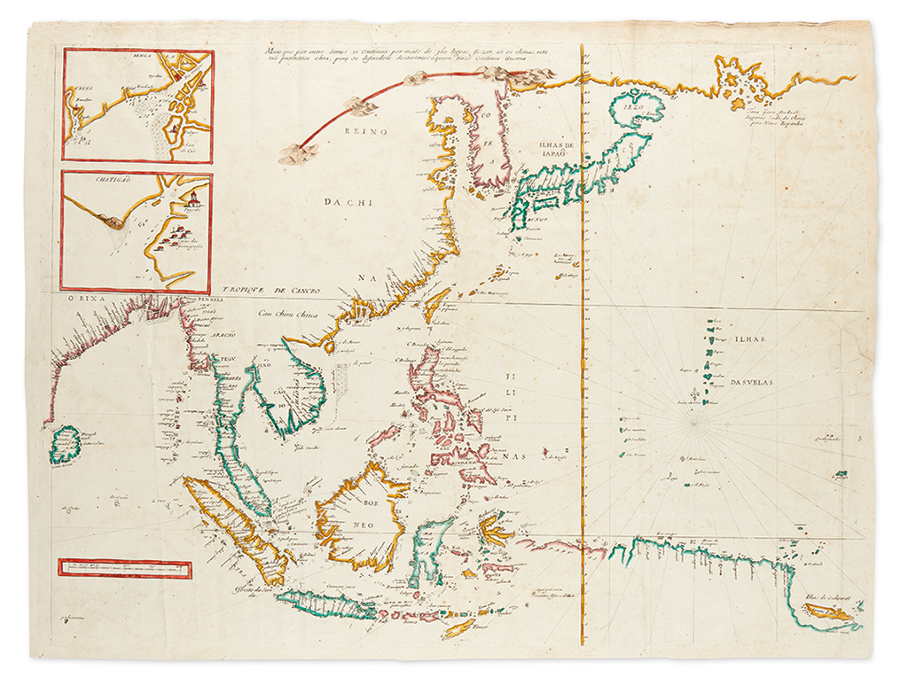
THEVENOT, MELCHISEDEC. [Southeast Asia and China, including the Philippines, Japan, Korea, Indonesia and the northern coast of Papua New Guinea.] Untitled large engraved map from Thévenot's Relations de divers Voyages. 20 3/4x27 1/4 inches sheet size; attractively hand-colored in outline; originally folding but flattened, minor foxing, small tear at original binding point repaired at right edge. Paris, 1664

Additional Details

First edition of this important and rare map based on an earlier Portuguese portolan by Joao Teixeira from 1649. Thomas Suarez notes in Early Mapping of Southeast Asia that the map is "an engraved rendering of a Portuguese portolan chart in 1664, which was the very year that the French East India Company was formed. The map appeared in the second part Thevenot's great compendium of voyages, Relations de divers Voyages, a work which was to France what Hakluyt's writing had been to England and Ramusio's had been to Italy." A significant French summarization of the cartographic knowledge of the Spice Island area that all of Europe was trying to reach in the seventeenth century. The upper left inset charts describe the Ganges River delta and a coastal bay of Burma. Thévenot, the compiler of the "Voyages" in which the present map was published, was a scientist and inventor whose contributions aside from cartographic successes such as this map include, most interestingly, the bubble level.