May 26, 2016 - Sale 2417

Sale 2417 - Lot 168

Price Realized: $ 37,500
?Final Price Realized includes Buyer’s Premium added to Hammer Price
Estimate: $ 8,000 - $ 12,000
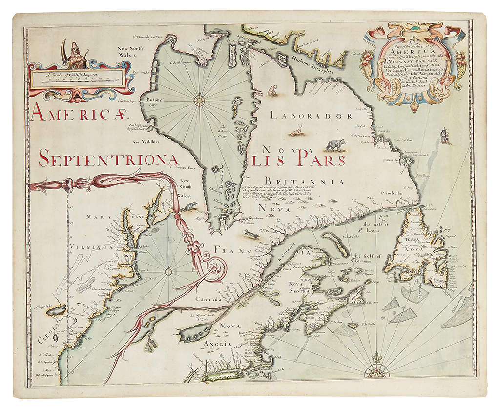
THORNTON, JOHN. A New Mapp of the north part of America from Hudson Straights commanly call'd the Norwest Passage. Incluidng Newfoundland New Scotland New England Virginia Maryland & Carolena Made and Sold by John Thornton at the Sign of England Scotland & Ireland in the Minories. Double-page engraved map encompassing New England, Hudson Bay, eastern Canada, and with a large inset of the American southeast and mid-Atlantic. 18 1/4x22 1/4 inches sheet size, ample margins, blank verso; hand-colored; expertly restored, mostly confined to reinstatement at the edges of the image, very thin archival tissue backing. [London, 1673]

Additional Details

thornton's first map. the first printed map to show the activities of the Hudson's Bay Company. the second printed map to show features of Lederer's discoveries. Burden (432) reports five known examples and based on our records it has been virtually unobtainable to the collector until now. One example is in the Blathwayt Atlas at the JCB.

"This map, formerly dated tentatively 'ca. 1680,' was advertised for sale in the
London Gazette for 20-24 February 1673." -- Cumming, The Southeast in Early Maps, 89.

"The inset of the southern colonies is not some casual insertion, some effort has been put into making the map as up to date as possible. . . The results of Lederer's recent voyages published in 1672 are incorporated here with the inclusion of Savana and Deserta Arenosa." -- Burden 432.