Apr 02, 2005 - Sale 2037

Sale 2037 - Lot 230

Price Realized: $ 1,035
?Final Price Realized includes Buyer’s Premium added to Hammer Price
Estimate: $ 1,000 - $ 1,200
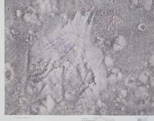
Taurus Littrow Landing Site Chart. A Lunar Topographic Photomap based on Apollo 15 orbital film data with contour lines in red at 50 meter intervals. Coverage area is 19.75 to 20.75 degrees north latitude and 30 to 31 degrees east longitude. Approximately 29x32 inches, scale 1:50,000. first edition. Defense Mapping for NASA, October 1972

Additional Details


Inscribed and signed by Cernan with: "The valley of Taurus Littrow. Last lunar footsteps of the 20th Century. Gene Cernan, Apollo XVII, December 1972." He has marked the landing site with a "X."