May 26, 2016 - Sale 2417

Sale 2417 - Lot 37

Price Realized: $ 22,500
?Final Price Realized includes Buyer’s Premium added to Hammer Price
Estimate: $ 12,000 - $ 18,000
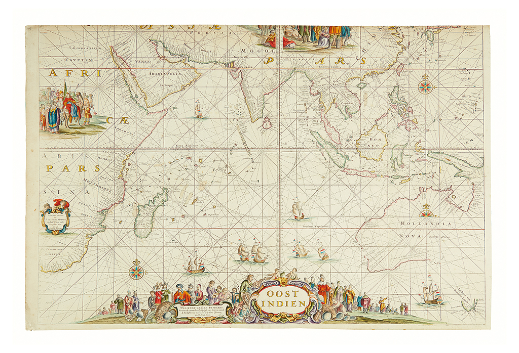
VAN KEULEN, JOHANNES. OOST INDIEN Wassende-Graade Paskaart, vertoonende nevens het Oosterlykste van Afrika, meede de Zeekusten van Asia, van C. de Bona Esperance tot Eso, boven Japan. Engraved sea chart on two sheets. 610x805 mm; hand-colored; trimmed along top edge (as usual, to fit in a composite atlas), remargined along that edge, some spotting, but generally very good. (DC) Amsterdam, [circa 1690]

Additional Details

A superb large format sea chart covering the Indian Ocean, the east coast of Africa, the Arabian Peninsula, India, South East Asia, the East Indies, and with an important delineation of Australia. This is one of the preeminent charts from Johannes van Keulen's ouvre and one of the great Indian Ocean maps. The plates for this map were originally prepared by Pieter Goos in circa 1658.

This state has updated soundings off the coast of Western Australia. There is a note roughly at the point of present-day Perth, taken from Hessel Gerritsz.

See Sotheby's May 2010, lot 67, where an example of the Goos edition printed on vellum sold for $350,000.