?Final Price Realized includes Buyer’s Premium added to Hammer Price
Estimate: $ 6,000 - $ 9,000
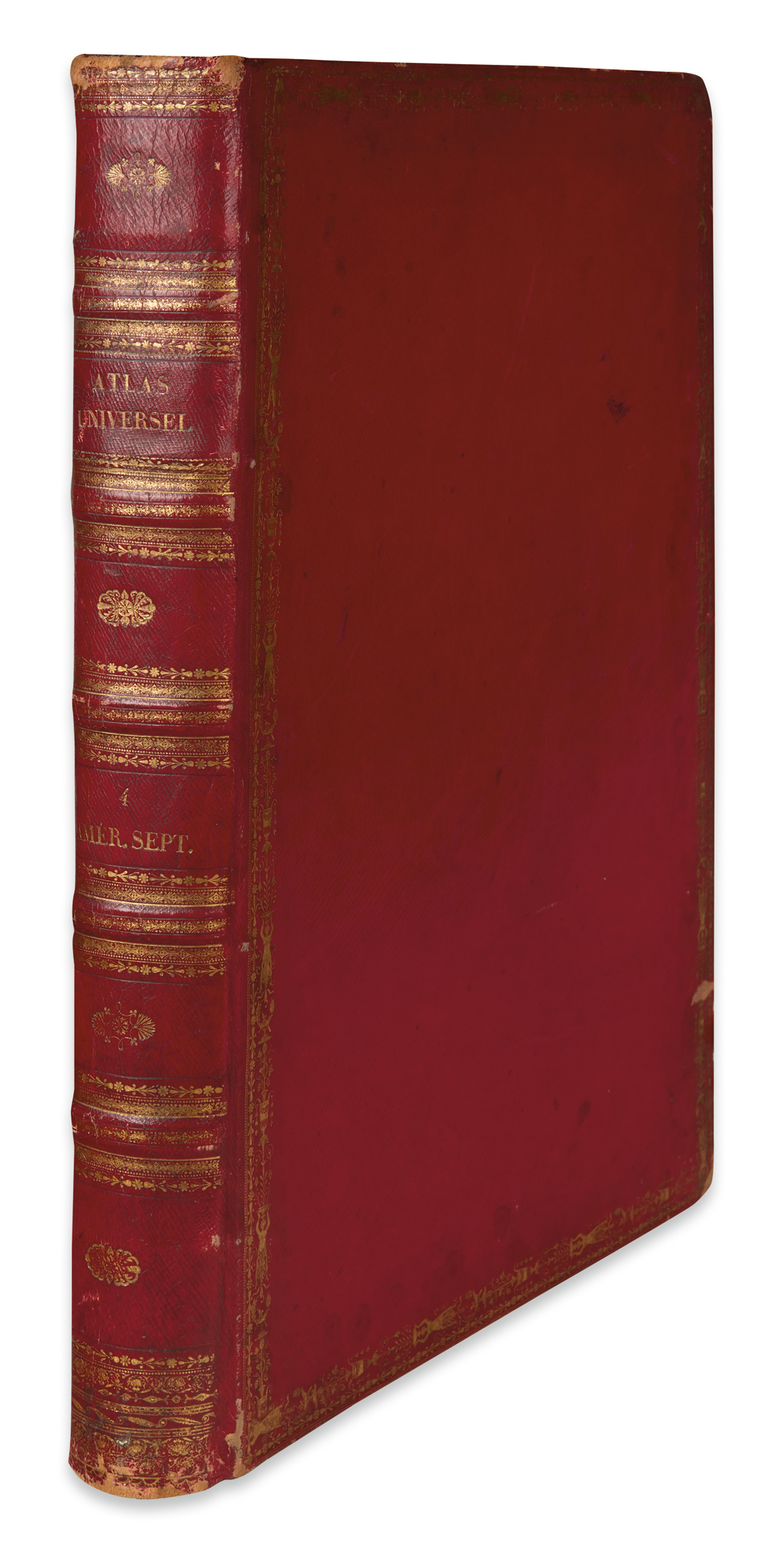
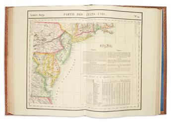
VANDERMAELEN, PHILIPPE. Atlas Universel de Geographie Physique, Politique, Statistique et Mineralogique.Quatrienne Partie - Amer. Sept. Double-page key map and 77 double-page lithographed maps with original hand-color. Volume 4 only. Folio, 21x14 inches, original full red morocco gilt, light scuffing, inner block partially separated but holding with two cords; half-title and title-page with heavy foxing, minimal in other spots, ink stamps to map versos. Brussels, 1827
A handsome copy of the North American volume of Vandermaelen's monumental world atlas, a work bearing the distinction of being the first atlas to utilize lithography as the method of production. Newly emerging areas in the American West are shown on a larger scale than previously seen: "no mapmaker had previously attempted to use such a large scale for any western American area" (Wheat). The initial "Carte D'Assemblage" correlates each of the individual maps in relation to their placement within the continent. Wheat TMW 378; Phillips, Atlases 749; Woodward, Five Centuries of Map Printing, pages 102-103.