?Final Price Realized includes Buyer’s Premium added to Hammer Price
Estimate: $ 500 - $ 700
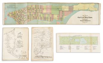
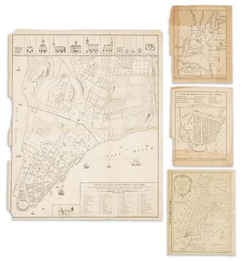
VARIOUS CARTOGRAPHERS
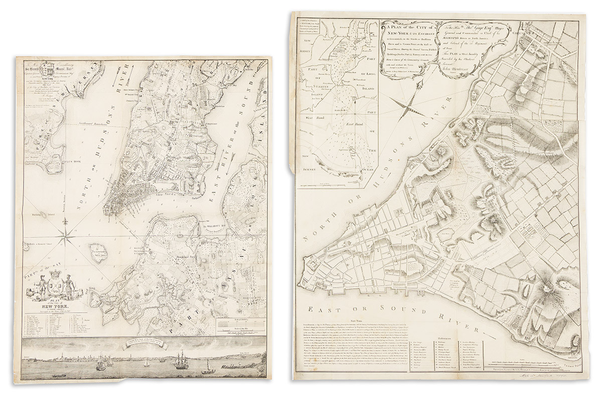
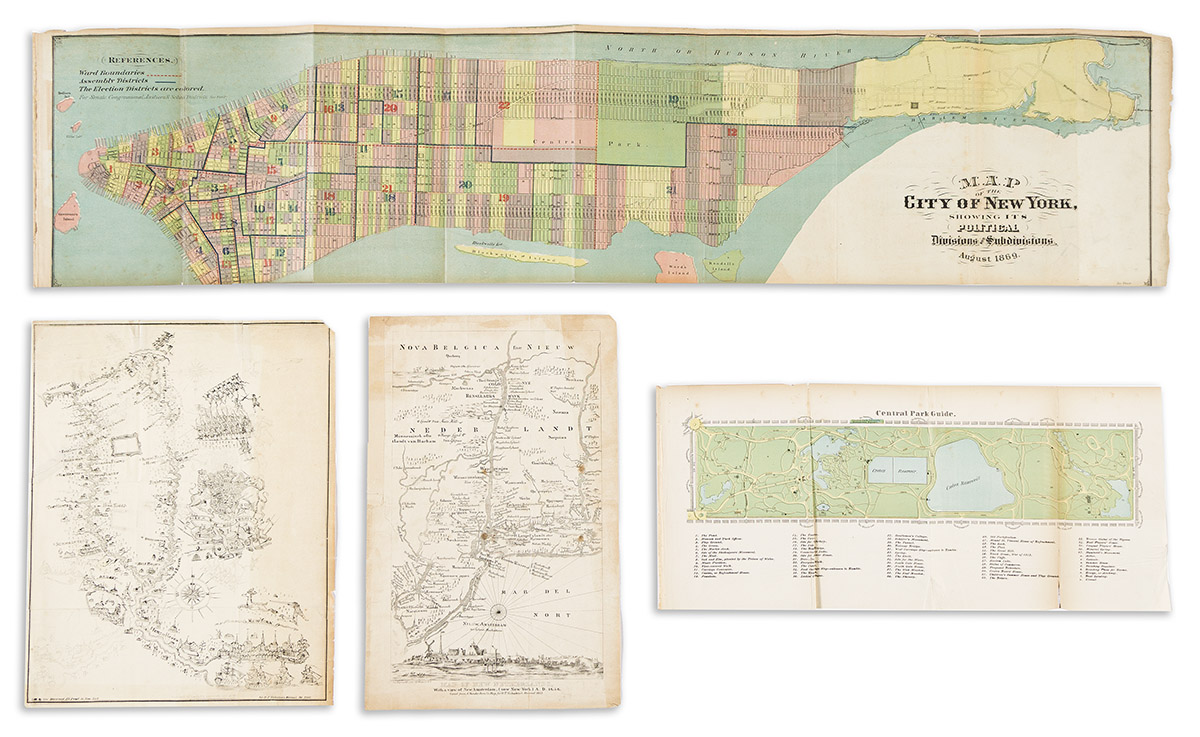
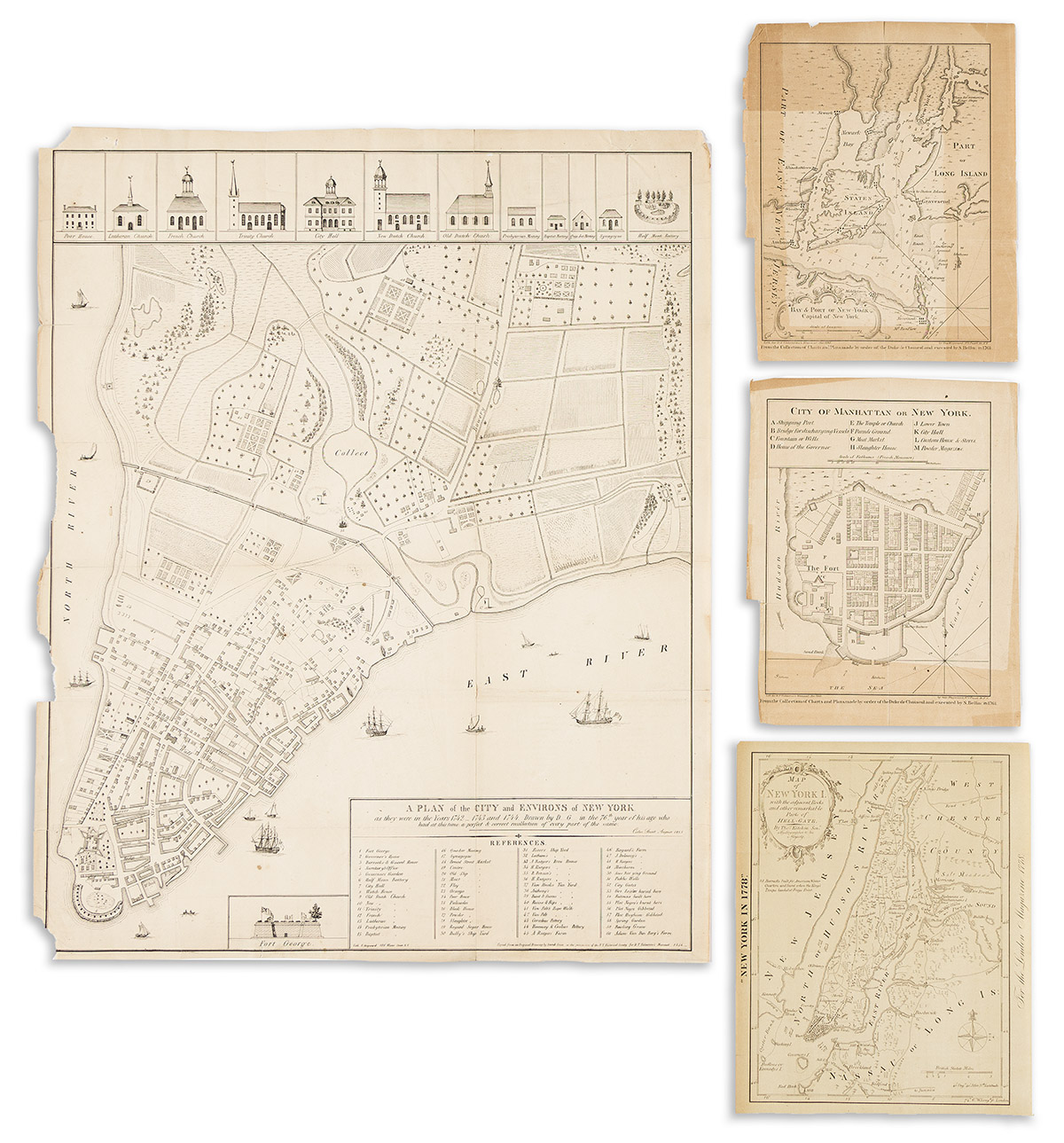
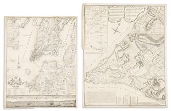
Group of 10 lithographed folding maps and plans taken from various editions of Valentine's Manual. 1860s. Various sizes; creases and occasional small losses. Central Park Guide; City of Manhattan or New York (Bellin); Bay & Port of New York, Capital of New York (Bellin); Map of New York I. with the Adjacent Rocks and Other Remarkable Parts of Hell Gate (Kitchin/London Magazine); Map of New Netherlands, With a View of New Amsterdam (Now New York) A.D. 1656 (van der Donck); [Powder horn engraving of New York and the Hudson River]; Plan of the City of New York in North America Surveyed in the Years 1766 & 1767 (Ratzer); A Plan of the City and Environs of New York as They Were in the Years 1742, 1743 and 1744 (David Grim); Plan of the City of New York & Its Environs (Montresor); Plan of the City of New York Showing the Wards and Senate Districts, Congressional Districts, School Districts, Justices Districts, 1869 (Shannon's).