?Final Price Realized includes Buyer’s Premium added to Hammer Price
Estimate: $ 600 - $ 900
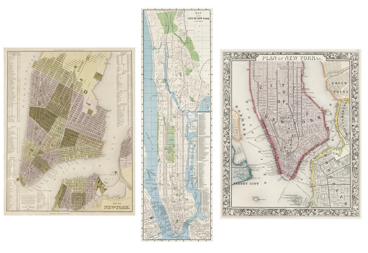
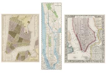
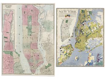
VARIOUS CARTOGRAPHERS
Group of 5 nineteenth-to-twentieth-century maps. 1835-1939. Henry Schenck Tanner. City of New York. Lithograph with original hand-color. 38¾x31 cm, 15¼x12¼ inches sight; matted and framed. Philadelphia, 1835.
Samuel Augustus Mitchell. Plan of New York, &c. Lithograph with original hand-color. 33½x28 cm, 13¼x11 inches sight; matted and framed. Philadelphia, 1860.
Matthew Dripps; for Valentine's Manual. New-York City, County, and Vicinity. Lithograph with original hand-color. 66x49½ cm, 26x19½ inches sheet size; float-mounted and framed. New York, 1864.
Gustav Kobbe. Map of the City of New York with Index. Color-printed folding pamphlet. 56½x17¾ cm, 22¼x7 inches sight; matted and framed. New York, 1891.
Richard Edes Harrison. The City of New York . . . is 310 square miles of rock-bottom land, criss-crossed by 5,000 miles of streets and largely bounded by its 580 miles of waterfront. Color-printed lithograph. 68½x57 cm, 27x22½ inches sheet size; float-mounted and framed. New York: Fortune Magazine,1939.