?Final Price Realized includes Buyer’s Premium added to Hammer Price
Estimate: $ 5,000 - $ 7,500
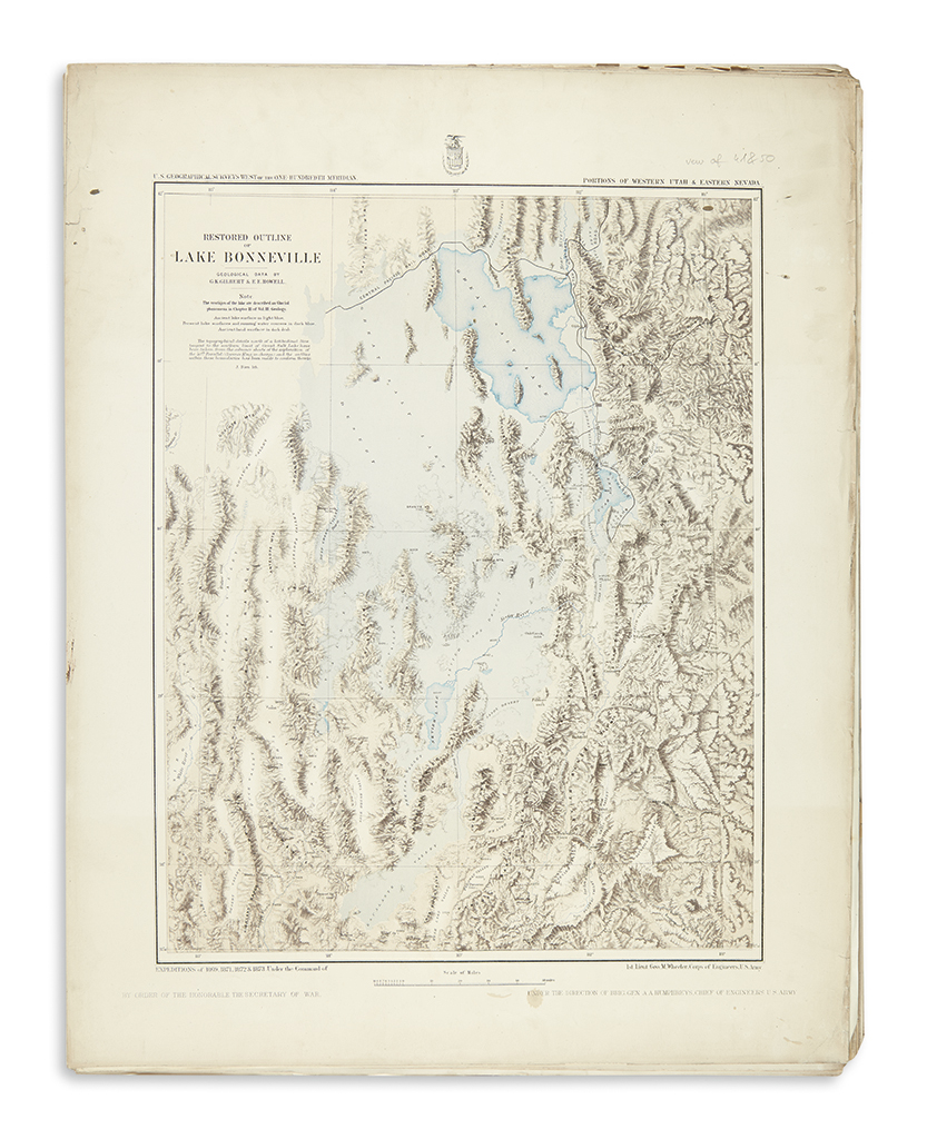
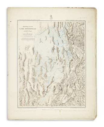
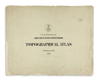
WHEELER, GEORGE. Topographical AtlasProjected to Illustrate United States Geographical Surveys West of the 100th Meridian of Longitude. Loose portfolio comprising: lithographed pictorial title, 3 sheets of preliminary material, 2 general maps and 58 duotone and color lithographed map sheets from Wheeler's incomplete survey (several in duplicate). Oblong folio, 19x24 inches, original printed paper wrappers with some soiling, edge chipping and tears, Masonic Lodge ink stamp and small pen graffiti on front cover; scattered marginal tears and edge stains, many maps folding but now flattened. list available on request. Washington, D.C.: Government Printing Office, 1870's
This portfolio, like all large groups of maps from Wheeler's survey, was compiled from various sources through the efforts of a dedicated collector. Phillips 1281 records a collection of 179 sheets, thought to be virtually complete. Rumsey 2738 has a similar count. In 1879 Congress discontinued the incomplete survey, however the seemingly scattershot publication continued into the 1880s. Cohen, Mapping the West, page 192.