Jul 09, 2020 - Sale 2540

Sale 2540 - Lot 230

Price Realized: $ 812
?Final Price Realized includes Buyer’s Premium added to Hammer Price
Estimate: $ 1,000 - $ 1,500
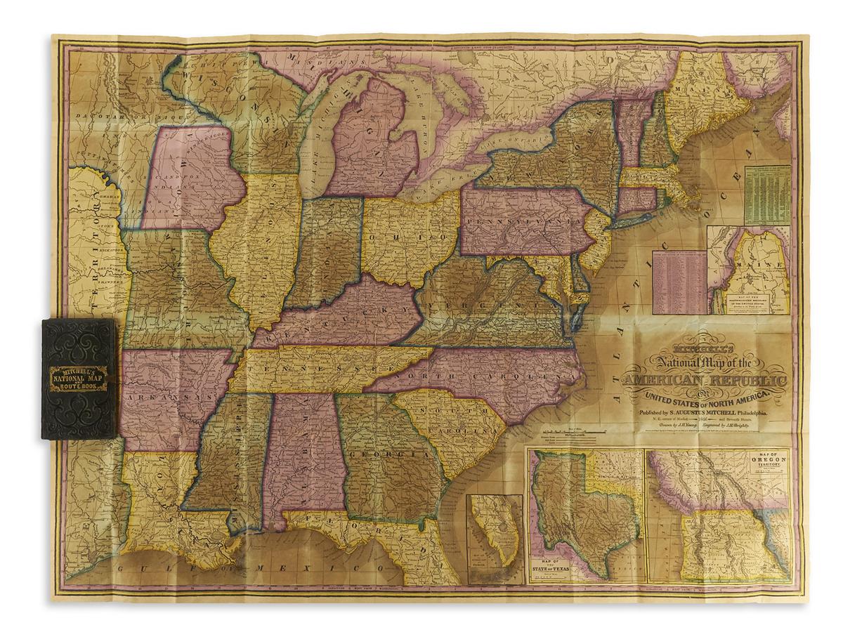
YOUNG, JAMES H.; and MITCHELL, SAMUEL AUGUSTUS. Mitchell's National Map of the American Republic or United States of North America. Large lithographed pocket map of the eastern United States with insets of Maine, Florida, Texas, and the Oregon Territory in fine original hand-color. 25x34 inches overall, folding into publisher's 16mo format gilt-and-blind-stamped black morocco case with partial brass clasp containing a 52-page "Route-Book, Adapted to Mitchell's National Map of the American Republic" and an 8-page advertisement booklet; on the whole a lovely example. Ristow, page 310. Philadelphia: S. Augustus Mitchell, 1846

Additional Details

With a subtle difference between all other examples we've seen: the inset Map of Oregon Territory, while commonly found colored in a single uniform territorial block, is here clearly delineated by two distinct colors - the British possessions represented in red above the 49th parallel and the American by yellow below it. This indicates our copy of the map was printed before President Polk settled the territorial dispute with Britain by proposing and successfully negotiating terms of the Oregon Treaty on June 15th, 1846 but hand-colored after that date, which offers a unique, very real-time contemporary illustration of the changing North American political boundaries of the nineteenth century.