Jun 07, 2018 - Sale 2481

Sale 2481 - Lot 242

Price Realized: $ 1,820
?Final Price Realized includes Buyer’s Premium added to Hammer Price
Estimate: $ 1,200 - $ 1,800
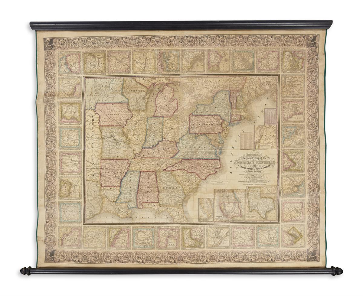
YOUNG, J.H.; and MITCHELL, S. AUGUSTUS. Mitchell's National Map of the American Republic or United States of North America. Together with Maps of the Vicinities of Thirty Two of the Principal Cities and Towns in the Union. Hand-colored engraved wall map. 39x49 1/2 inches sheet size; backed with modern canvas and selvage, mounted to wooden rollers; stabilized cracks and small areas of minor infill. Philadelphia, 1850

Additional Details

Final version of Mitchell's successful map of the United States from the east coast to Texas and Indian Territory. As with earlier editions, the general map is bordered by 32 detail plans of prominent American cities. An important factor in this later edition is a small change in the geography of the north-west, delineating the borders of Iowa, Wisconsin and Minnesota. Another significant change is to the inset of the Oregon Territory as it previously appeared: here it is divided into Oregon and "Upper or New California" and prominently shows the Gold Regions. No copies of this 1850 edition traced at auction.