Dec 05, 2017 - Sale 2464

Sale 2464 - Lot 250

Price Realized: $ 11,250
?Final Price Realized includes Buyer’s Premium added to Hammer Price
Estimate: $ 8,000 - $ 12,000
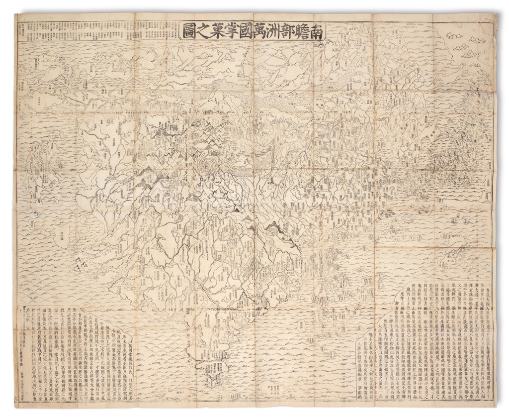
ZUDA ROKASHI (Priest Hotan.) Nansenbushu Bankoku Shoka No Zu. Folding woodcut map on 16 sheets joined. 46x56 1/2 inches overall; scattered but prevalent worm tracking reinforced on verso with thin tissue. Kyoto: Uhei Bundaiken, 1710

Additional Details

Large and important wall map combining conceptual Buddhist cosmology and contemporary cartography, the earliest printed Japanese world map to feature such a representation. The map is based on a Buddhist perspective of the world with India at the center. At its heart a whorl appears, symbolizing the four major rivers of the region: the Ganges, Indus, Brahmaputra and the Sutlej each originating from the heads of a horse, lion, elephant and an ox. Contemporary geography is related showing Europe as a series of islands in the upper left, China and Japan to the right, and South America depicted as an island in the lower right. Muroga & Unno, The Buddhist World Map in Japan (Imago Mundi 16, pages 49-69); Harley & Woodward, The History of Cartography, 2.2, pages 427-429.