?Final Price Realized includes Buyer’s Premium added to Hammer Price
Estimate: $ 2,000 - $ 3,000
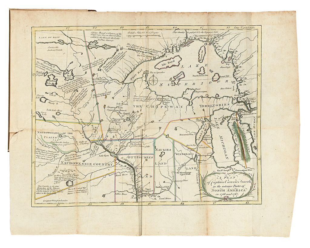
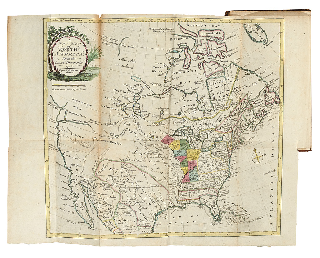
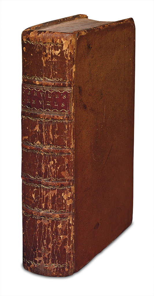
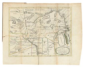
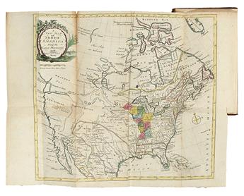
CARVER, JOHN. Travels through the Interior Parts of North America, in the Years 1766, 1767, and 1768. 2 hand-colored engraved folding maps, 5 hand-colored engraved plates. [26], xvi, 22, [2, blank], [17]-543, [21] pages (misbound?). 8vo, attractive contemporary full calf, spine in six compartments divided by raised bands, red morocco lettering-piece in second, spine lightly worn; scattered light foxing, small tear to Minnesota-Wisconsin map. Bookplates of Charles-Fleury Panckoucke, fils. and another unidentified on front pastedown. Ink ownership inscription on first blank recto: "James Duncan Graham, Lieut. Colonel, U.S. Army. Chicago May 1860." London: printed for C. Dilly; H. Payne; and J. Phillips, 1781
Third and best edition, with added biography and index. "Carver penetrated farther into the West than any other English explorer before the Revolution" and "stimulated curiosity concerning routes to the Pacific, later satisfied by Mackenzie and Lewis and Clark"--Howes C215 (this edition "b"). The book records his travels as far west as modern-day Minnesota and Wisconsin, and also describes his injuries and capture by the French and Indians at Fort William Henry in 1757.
The one-time owner of this copy, James Duncan Graham, was surveyor of the boundary line between the United States and the Republic of Texas (1839-40), northeast boundary line between the United States and Canada (1840-43 and '43-47), and resurveyor of the Mason-Dixon Line. Furthermore he discovered the lunar tide of the Great Lakes in 1858-59, which sheds light on a pencil inscription on the front pastedown: "No regular Lake tides - p. 147." Greenly 21 (best collation); Sabin 11184.