Sale 2689 - Lot 31
Price Realized: $ 2,600
Price Realized: $ 3,250
?Final Price Realized includes Buyer’s Premium added to Hammer Price
Estimate: $ 2,000 - $ 3,000
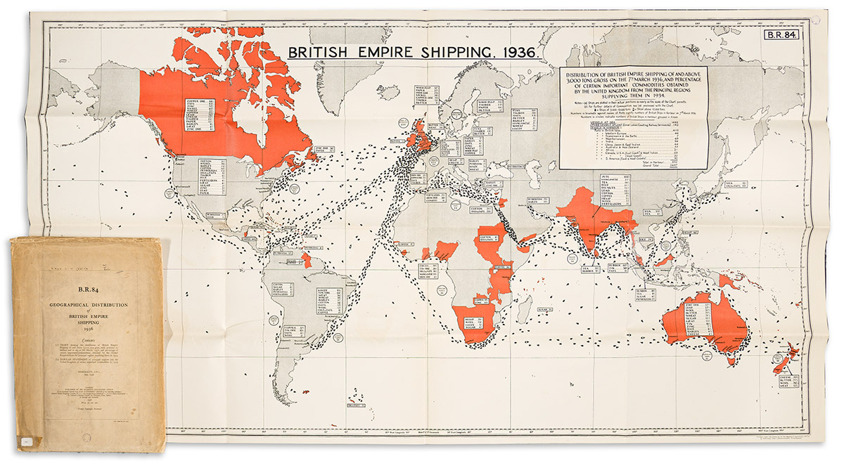
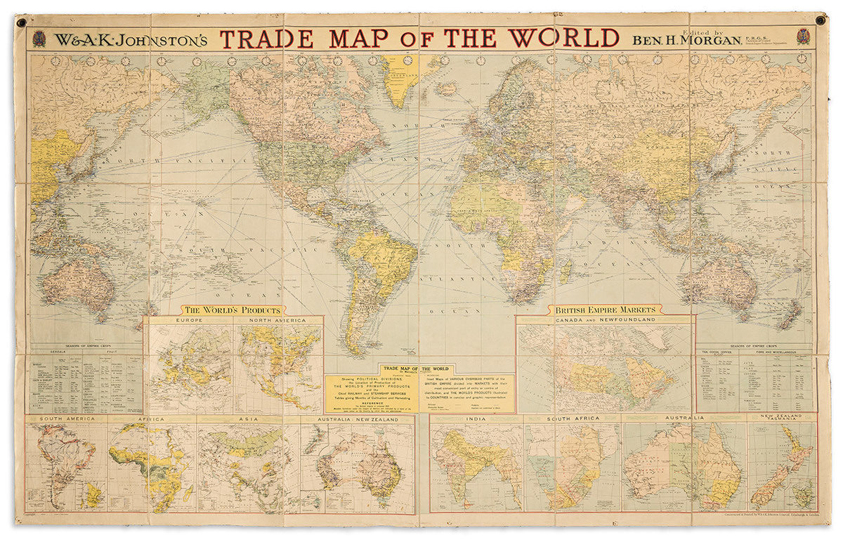
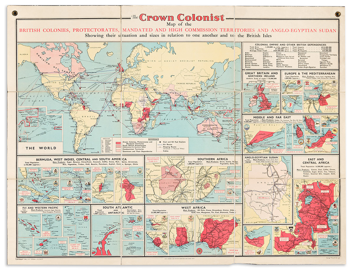
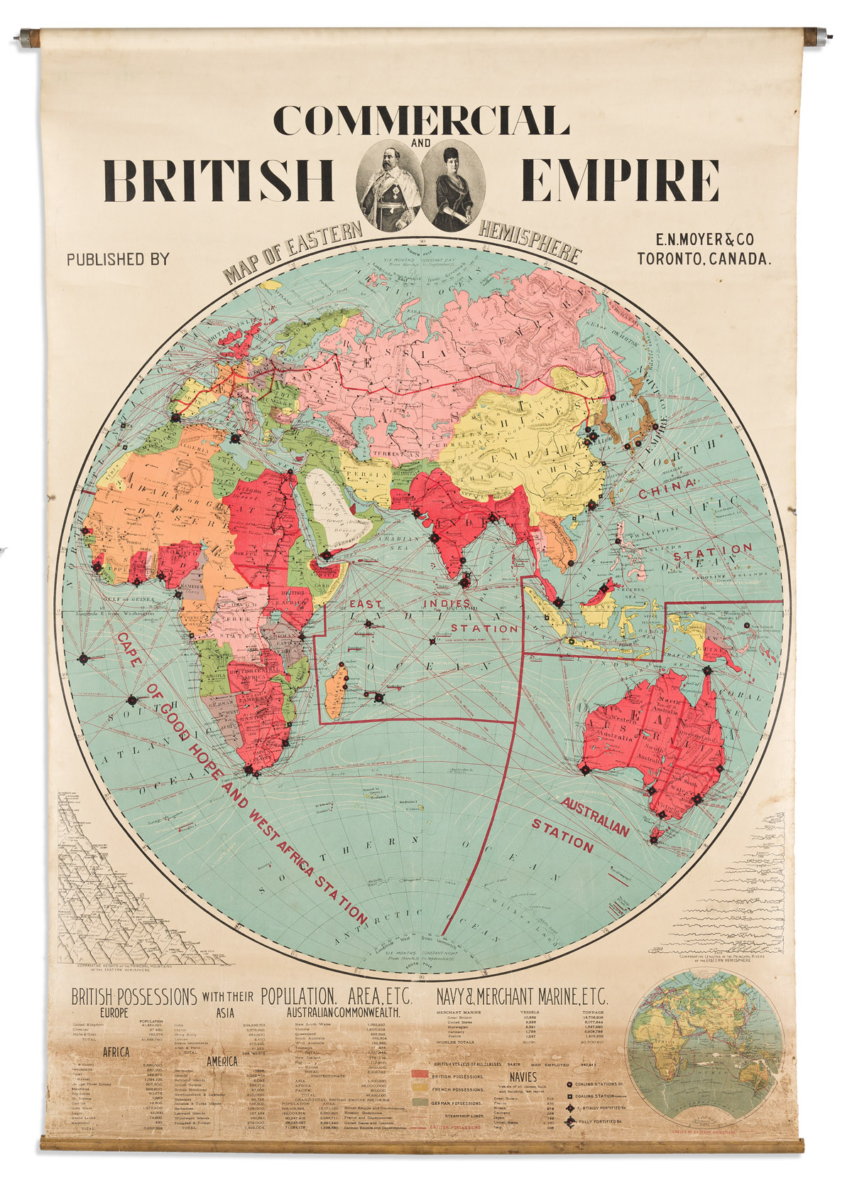
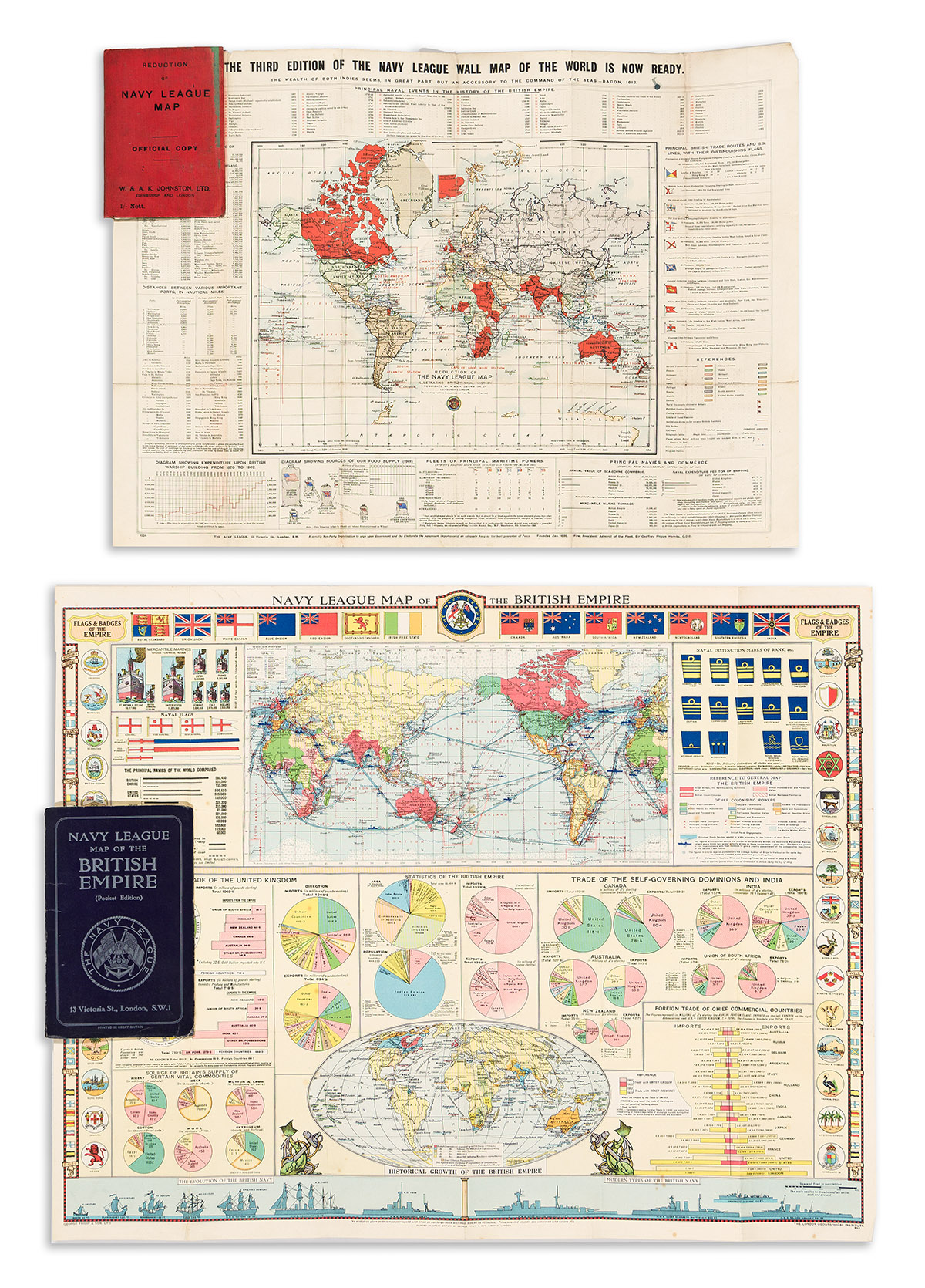
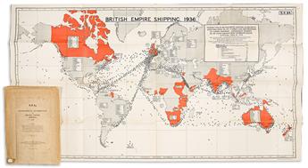
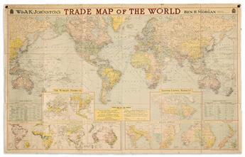
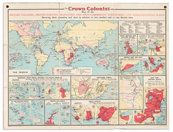
(BRITISH EMPIRE.) Group of 7 early twentieth-century imperialist propaganda maps. Vp, vd
Additional Details
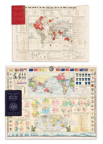
George Philip & Son, Ltd.; and The London Geographical Institute. Navy League Map of the British Empire. Chromolithograph, 19½x24¾ inches, mounted on original linen backing and folding into publisher's 8vo format printed card covers; minor wear. London, circa 1930.
W. & A.K. Johnston. Reduction of the Navy League Map. Chromolithograph; 15x21 inches, mounted on original linen backing and folding into publisher's 12mo format printed card covers; minor wear and staining. London, 1904.
W. & A.K. Johnston; and Ben H. Morgan. Trade Map of the World. Color-printed, 43½x69 inches overall, segmented, mounted on original linen backing with brass hanging grommets and folding into plain card self-wrappers with printed paper label; light age tone, tack holes, and small areas of wear. London, circa 1930.
George Philip & Son. The Crown Colonist Map of the British Colonies, Protectorates, Mandated and High Commission Territories and Anglo-Egyptian Sudan Showing Their Situation and Sizes in Relation to One Another and to the British Isles. Chromolithograph, 36x47 inches overall, segmented, mounted on original linen backing with brass hanging grommets and folding into plain card self-wrappers with printed paper label; minor signs of age. London, 1940.
British Admiralty. British Empire Shipping, 1936. Lithograph with red color-printing, 32½x60 inches overall; folding; unobtrusive library stamps and a touch of pigment offset; with original official printed envelope. London, 1936.
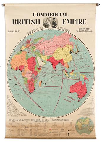
Moyer & Co. Commercial and British Empire Map of Western Hemisphere [and] Commercial and British Empire Map of Eastern Hemisphere. Together two large chromolithographed Canadian school maps highlighting early 20th-century British territorial possessions, marine routes, and international statistics; oval portrait vignettes of King Edward VII and Queen Alexandra. Each 58x39½ inches overall, mounted to original linen backing and wooden rollers with spring-loaded hanging mechanisms; wear and staining at lower sections, otherwise good. Toronto, circa 1910.
Exhibition Hours
Exhibition Hours
Aliquam vulputate ornare congue. Vestibulum maximus, libero in placerat faucibus, risus nisl molestie massa, ut maximus metus lectus vel lorem.


