-

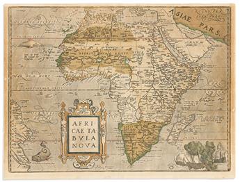 Lot 1(AFRICA.) Abraham Ortelius. Africae Tabula Nova.Estimate $ 600 - $ 900Price Realized $ 938(with Buyer's Premium)
 -

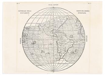 Lot 2(AMERICAS.) Giovanni Battista Ramusio. Universale Della Parte del Mondo Nuovamente Ritrovata.Estimate $ 1,200 - $ 1,800Price Realized $ 1,063(with Buyer's Premium)
 -

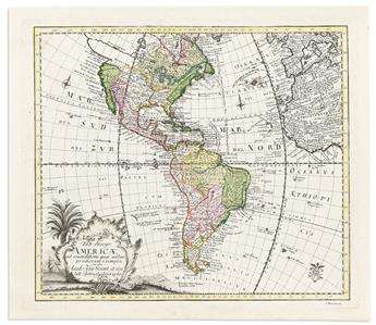 Lot 3(AMERICAS.) Leonard von Euler. Tab: Geogr: Americae ad Emendatiora Quae Adhuc Prodierunt Exempla.Estimate $ 400 - $ 600Price Realized $ 938(with Buyer's Premium)
 -

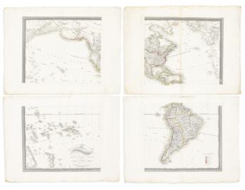 Lot 4(AMERICAS.) F. Fried. Carte de lAmerique,Estimate $ 600 - $ 900Price Realized $ 625(with Buyer's Premium)
 -

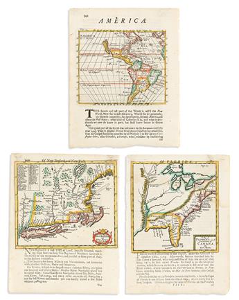 Lot 5(AMERICA.) Robert Morden. Group of 3 engraved maps.Estimate $ 800 - $ 1,200Price Realized $ 1,235(with Buyer's Premium)
 -

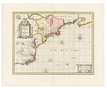 Lot 6(AMERICAN EAST COAST.) Pieter Schenk; and Gerard Valk. Nova Belgica et Anglia Nova.Estimate $ 1,500 - $ 2,000Price Realized $ 1,375(with Buyer's Premium)
 -

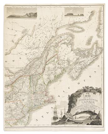 Lot 7(AMERICAN NORTHEAST.) Joseph Bouchette. Map of the Provinces of Upper & Lower Canada with the Adjacent Parts of the United StatesEstimate $ 600 - $ 900Price Realized $ 910(with Buyer's Premium)
 -

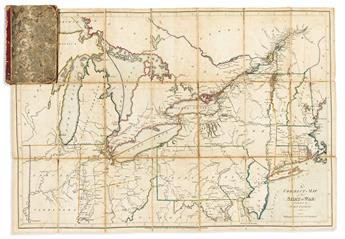 Lot 8(AMERICAN NORTHEAST -- WAR OF 1812.) Samuel Lewis; and Samuel Harrison, engraver. A Correct Map of the Seat of War.Estimate $ 2,000 - $ 2,500Price Realized $ 3,750(with Buyer's Premium)
 -

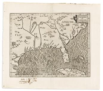 Lot 9(AMERICAN SOUTHEAST.) Cornelis Wytfliet. Florida et Apalche.Estimate $ 1,500 - $ 2,000Price Realized $ 2,000(with Buyer's Premium)
 -

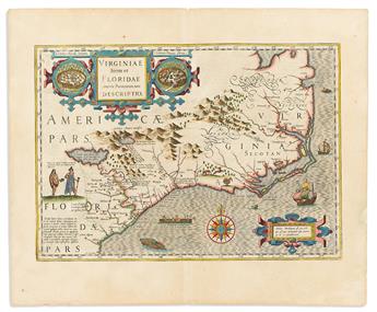 Lot 10(AMERICAN SOUTHEAST.) Gerard Mercator; and Jodocus Hondius. Virginiae Item et Floridae Americae Provinciarum, Nova Descriptio.Estimate $ 1,500 - $ 2,000Price Realized $ 1,625(with Buyer's Premium)
 -

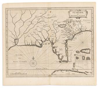 Lot 11(AMERICAN SOUTHEAST.) Johannes de Laet. Florida, et Regiones Vicinae.Estimate $ 1,500 - $ 2,500Price Realized $ 2,500(with Buyer's Premium)
 -

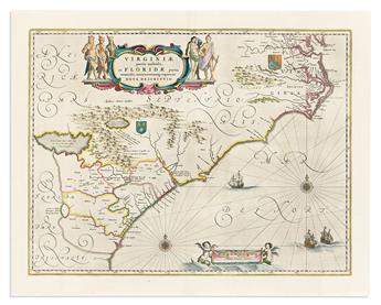 Lot 12(AMERICAN SOUTHEAST.) Willem Blaeu. Virginiae Partis Australis, et Floridae Partis Orientalis.Estimate $ 700 - $ 1,000Price Realized $ 750(with Buyer's Premium)
 -

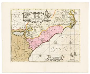 Lot 13(AMERICAN SOUTHEAST.) Pieter Schenk; and Gerard Valk. Virginiae Partis Australis, et Floridae Partis Orientalis.Estimate $ 700 - $ 1,000Price Realized $ 1,125(with Buyer's Premium)
 -

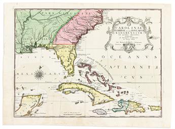 Lot 14(AMERICAN SOUTHEAST.) Mark Catesby; and Johann Michael Seligmann. Carolinae Floridae nec non Insularum Bahamensium.Estimate $ 1,000 - $ 1,500Price Realized $ 2,500(with Buyer's Premium)
 -

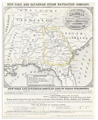 Lot 15(AMERICAN SOUTHEAST -- TRAVEL.) New York and Savannah Steam Navigation Company. New York and Georgia Lines of Internal Improvement &Estimate $ 500 - $ 700Price Realized $ 813(with Buyer's Premium)
 -

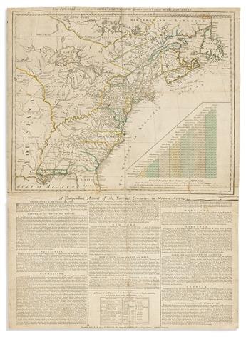 Lot 16(AMERICAN REVOLUTION.) Robert Sayer and John Bennett. The Theatre of War in North America, with the Roads and a Table of Distances.Estimate $ 800 - $ 1,200Price Realized $ 3,500(with Buyer's Premium)
 -

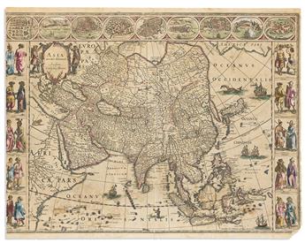 Lot 17(ASIA.) Willem Blaeu. Asia Noviter Delineata.Estimate $ 500 - $ 700Price Realized $ 1,000(with Buyer's Premium)
 -

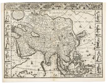 Lot 18(ASIA.) John Speed. Asia with the Islands Adjoyning Described, the Atire of the People, & Townes of Importance.Estimate $ 800 - $ 1,200Price Realized $ 1,063(with Buyer's Premium)
 -

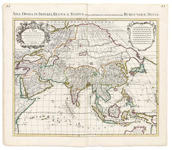 Lot 19(ASIA.) Johannes Covens & Cornelius Mortier; after Guillaume de LIlsle. LAsie Divisee en Ses Principales Regions.Estimate $ 500 - $ 700Unsold
 -

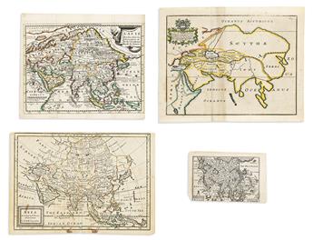 Lot 20(ASIA.) Group of 6 seventeenth-and-eighteenth-century engraved maps.Estimate $ 300 - $ 400Price Realized $ 375(with Buyer's Premium)
 -

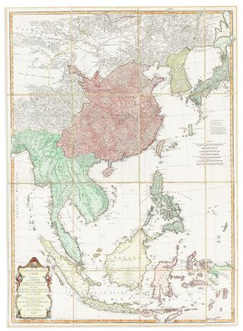 Lot 21(ASIA -- EAST AND SOUTHEAST.) Jean-Baptiste Bourguignon dAnville. Seconde Partie de la Carte dAsie Contenant la ChineEstimate $ 700 - $ 1,000Price Realized $ 625(with Buyer's Premium)
 -

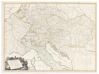 Lot 22(AUSTRO-HUNGARIAN EMPIRE.) Laurie & Whittle. A New Map of the Emperors Dominions, Exhibiting The Post Roads of Germany, HungaryEstimate $ 500 - $ 700Price Realized $ 469(with Buyer's Premium)
 -

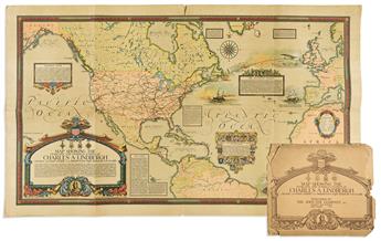 Lot 23(AVIATION -- PICTORIAL.) Ernest Clegg. Map Showing the Overland and Overseas Flights of Charles A. Lindbergh.Estimate $ 800 - $ 1,200Price Realized $ 531(with Buyer's Premium)
 -

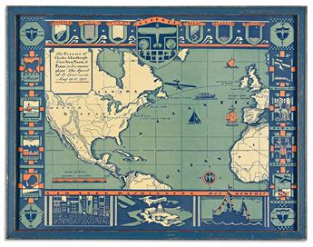 Lot 24(AVIATION -- PICTORIAL.) Amy Drevenstedt. The Flight of Charles A LindberghEstimate $ 600 - $ 900Price Realized $ 1,188(with Buyer's Premium)
 -

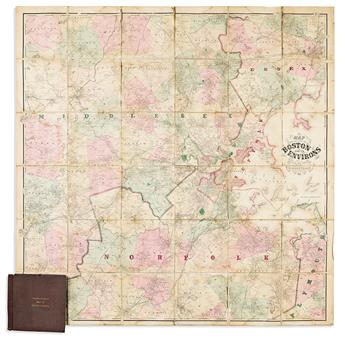 Lot 25(BOSTON.) Henry F. Walling. Map of the City of Boston and Its Environs.Estimate $ 1,000 - $ 1,500Price Realized $ 688(with Buyer's Premium)
 -

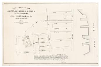 Lot 26(BOSTON -- BUNKER HILL.) C.D. Barstow. Plan Showing the Redoubt, Breastwork and Rail-Fence & Grass-Protection of the AmericansEstimate $ 500 - $ 700Price Realized $ 406(with Buyer's Premium)
 -

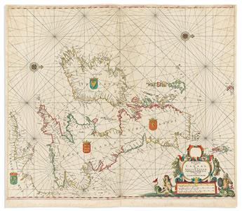 Lot 27(BRITISH ISLES.) Arnold Colom. Pascaarte van t Canaal.Estimate $ 1,000 - $ 1,500Price Realized $ 1,375(with Buyer's Premium)
 -

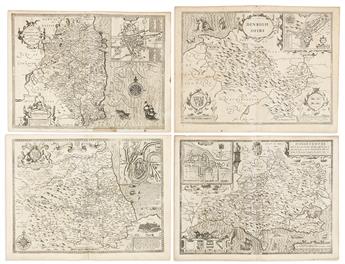 Lot 28(BRITISH COUNTIES.) John Speed. Group of 4 double-page engraved British county maps.Estimate $ 500 - $ 700Price Realized $ 406(with Buyer's Premium)
 -

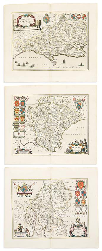 Lot 29(BRITISH COUNTIES.) Joan Blaeu. Group of 10 double-page engraved maps.Estimate $ 1,000 - $ 1,500Price Realized $ 1,375(with Buyer's Premium)
 -

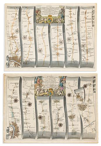 Lot 30(BRITISH ROADS.) Group of engraved strip maps.Estimate $ 500 - $ 700Price Realized $ 531(with Buyer's Premium)
 -

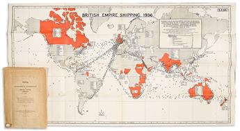 Lot 31(BRITISH EMPIRE.) Group of 7 early twentieth-century imperialist propaganda maps.Estimate $ 2,000 - $ 3,000Price Realized $ 3,250(with Buyer's Premium)
 -

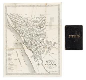 Lot 32(BUFFALO.) Loring Danforth. Pocket Map of the City of Buffalo.Estimate $ 500 - $ 700Price Realized $ 488(with Buyer's Premium)
 -

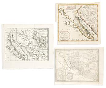 Lot 33(CALIFORNIA.) Group of 3 eighteenth-century engraved maps.Estimate $ 600 - $ 900Price Realized $ 625(with Buyer's Premium)
 -

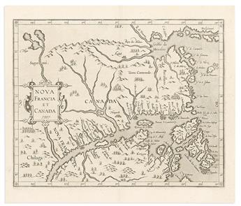 Lot 34(CANADA.) Cornelis Wytfliet. Nova Francia et Canada.Estimate $ 700 - $ 1,000Price Realized $ 1,625(with Buyer's Premium)
 -

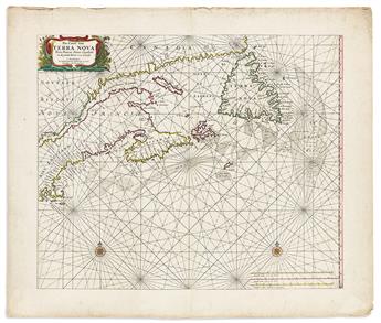 Lot 35(CANADA.) Hendrick Doncker. Pas-Caert van Terra Nova, Nova Francia, Nieuw-Engeland en de Groote Rivier van Canada.Estimate $ 1,000 - $ 1,500Price Realized $ 2,125(with Buyer's Premium)
 -

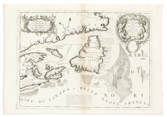 Lot 36(CANADA.) Vincenzo Coronelli. Canada Orientale Nell America Settentrionale.Estimate $ 400 - $ 600Price Realized $ 1,063(with Buyer's Premium)
 -

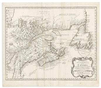 Lot 37(CANADA.) Homann Heirs; after Jacques Nicolas Bellin. Partie Orientale de la Nouvelle France ou du Canada.Estimate $ 400 - $ 600Price Realized $ 469(with Buyer's Premium)
 -

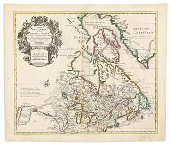 Lot 38(CANADA.) Covens & Mortier; after Guillaume de LIsle. Carte du Canada ou de la Nouvelle France.Estimate $ 600 - $ 900Price Realized $ 688(with Buyer's Premium)
 -

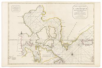 Lot 39(CANADA.) Pierre Mortier. Carte Particuliere de lAmerique SeptentrionaleEstimate $ 600 - $ 900Price Realized $ 594(with Buyer's Premium)
 -

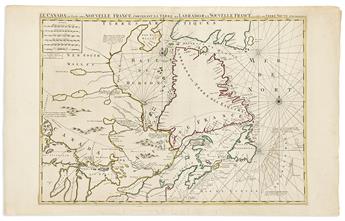 Lot 40(CANADA.) Pierre Mortier. Le Canada ou Partie de la Nouvelle France,Estimate $ 600 - $ 900Price Realized $ 1,000(with Buyer's Premium)
 -

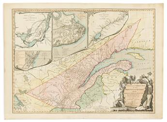 Lot 41(CANADA.) Jonathan Carver. A New and Correct Map of the Province of Quebec with the Adjacent States and Provinces.Estimate $ 600 - $ 900Price Realized $ 938(with Buyer's Premium)
 -

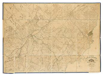 Lot 42(CANADA.) HH Lloyd; for the Geological Survey of Canada. Map of the Eastern Townships and Adjacent Portions of the Province of Quebec.Estimate $ 600 - $ 900Price Realized $ 1,500(with Buyer's Premium)
 -

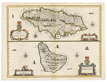 Lot 43(CARIBBEAN.) John Speed. A Map of Jamaica / Barbados.Estimate $ 500 - $ 700Price Realized $ 625(with Buyer's Premium)
 -

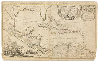 Lot 44(CARIBBEAN.) Johannes Covens; and Cornelius Mortier. Teatre de la Guerre en AmeriqueEstimate $ 700 - $ 1,000Price Realized $ 1,625(with Buyer's Premium)
 -

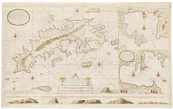 Lot 45(CARIBBEAN -- U.S. VIRGIN ISLANDS.) Gerard Van Keulen. Nieuwe en Aldereerste Afteekening van t Eyland St. Thomas.Estimate $ 2,000 - $ 3,000Price Realized $ 3,500(with Buyer's Premium)
 -

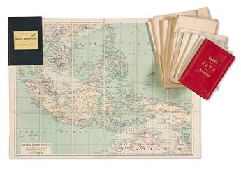 Lot 46(CASE MAPS.) Group of 9 early-twentieth-century folding maps of Indonesia and Southeast Asia.Estimate $ 700 - $ 1,000Price Realized $ 813(with Buyer's Premium)
 -

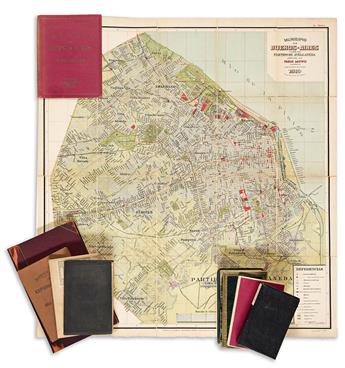 Lot 47(CASE MAPS.) Group of 8 miscellaneous nineteenth-and-twentieth-century folding maps.Estimate $ 700 - $ 1,000Price Realized $ 1,063(with Buyer's Premium)
 -

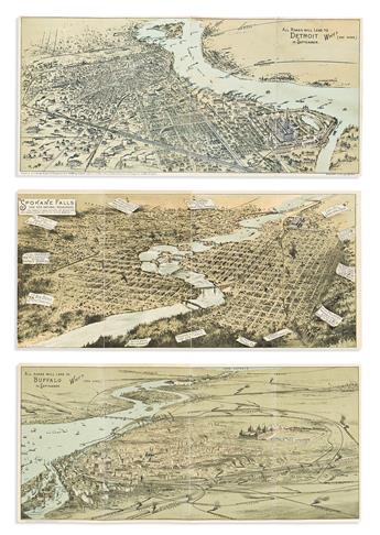 Lot 48(CITY PANORAMAS -- INTERNATIONAL EXPOSITIONS.) Group of 3 miniature chromolithographed panoramas of industrial American cities.Estimate $ 500 - $ 700Price Realized $ 594(with Buyer's Premium)
 -

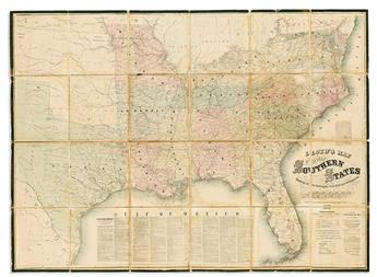 Lot 49(CIVIL WAR.) James T. Lloyd. Lloyds Map of the Southern States.Estimate $ 500 - $ 700Price Realized $ 1,000(with Buyer's Premium)
 -

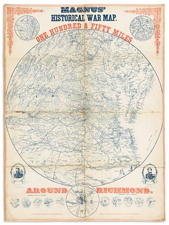 Lot 50(CIVIL WAR.) Charles Magnus. Magnus Historical War Map. One Hundred & Fifty Miles Around Richmond.Estimate $ 500 - $ 700Price Realized $ 553(with Buyer's Premium)
 -

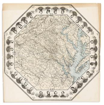 Lot 51(CIVIL WAR.) [Charles Magnus]. [One Hundred Miles Around Richmond].Estimate $ 600 - $ 900Price Realized $ 531(with Buyer's Premium)
 -

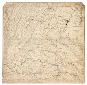 Lot 52(CIVIL WAR.) Engineering Bureau, U.S. War Department. Central Virginia Showing Lieut. Genl. U.S. Grants Campaign and MarchesEstimate $ 300 - $ 400Price Realized $ 281(with Buyer's Premium)
 -

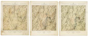 Lot 53(CIVIL WAR.) John B. Bachelder. Map of the Battle Field of Gettysburg July 1st, 2nd, 3rd, 1863.Estimate $ 1,500 - $ 2,000Price Realized $ 4,000(with Buyer's Premium)
 -

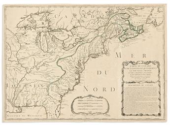 Lot 54(COLONIAL NORTH AMERICA.) Jean Baptiste Nolin. Carte du Canada et de la Louisiane qui Forment la Nouvelle FranceEstimate $ 800 - $ 1,200Price Realized $ 1,188(with Buyer's Premium)
 -

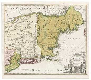 Lot 55(COLONIAL NORTH AMERICA.) Johann Baptist Homann. Nova Anglia Septentrionali Americae.Estimate $ 800 - $ 1,200Price Realized $ 1,250(with Buyer's Premium)
 -

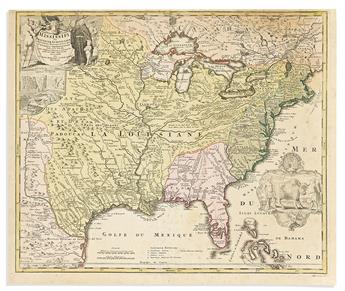 Lot 56(COLONIAL NORTH AMERICA.) Johann Baptist Homann. Amplissimae Regionis Mississipi seu Provinciae Ludovicianae.Estimate $ 700 - $ 1,000Price Realized $ 1,750(with Buyer's Premium)
 -

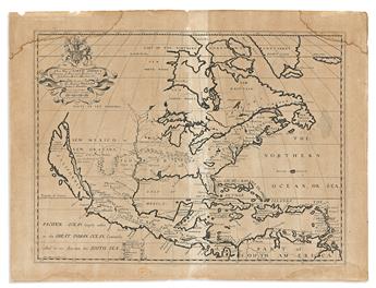 Lot 57(COLONIAL NORTH AMERICA.) Edward Wells. A New Map of North AmericaEstimate $ 300 - $ 400Price Realized $ 875(with Buyer's Premium)
 -

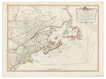 Lot 58(COLONIAL NORTH AMERICA.) Robert Laurie & James Whittle. A New and Correct Map of the British Colonies in North America.Estimate $ 600 - $ 900Price Realized $ 750(with Buyer's Premium)
 -

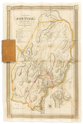 Lot 59(CONNECTICUT.) S. Stiles & Co.; for William Lester. A Map of Norwich, From Actual Survey.Estimate $ 700 - $ 1,000Price Realized $ 1,000(with Buyer's Premium)
 -

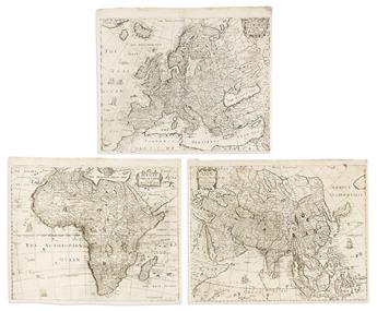 Lot 60(CONTINENTS.) Anna Siele. Asiae Descriptio Nova; Europae Descriptio Nova; [and] Africae Nova Descriptio.Estimate $ 600 - $ 900Price Realized $ 438(with Buyer's Premium)

