Jun 07, 2017 - Sale 2450

Sale 2450 - Lot 35

Price Realized: $ 688
?Final Price Realized includes Buyer’s Premium added to Hammer Price
Estimate: $ 500 - $ 750
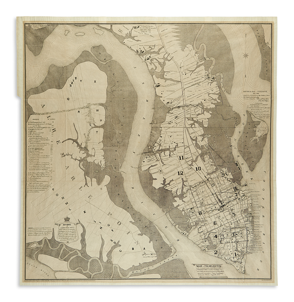
(CHARLESTON.) Barbot, Louis J. Historical Map of Charleston 1670-1883. Large folding photolithographic map. 28 1/2x27 1/4 inches sheet size; lightly toned, mounting tabs on verso. New York: Am. Photo-Litho. Co., 1884

Additional Details

Scarce and richly detailed historical map of Charleston and vicinity showing the original settlement of 1670 at Albemarle Point, the Oyster Point settlement of 1672 and all subsequent growth and development to 1883. A key to the left details colonial land plots on Albemarle Point, their acreage and original owners, including Captain Joseph West. Published to accompany Mayor William Courtenay's Centennial Address, August 13, 1883, the map presents a fascinating graphic history of the city.