Sale 2624 - Lot 55
Price Realized: $ 48,000
Price Realized: $ 60,000
?Final Price Realized includes Buyer’s Premium added to Hammer Price
Estimate: $ 30,000 - $ 50,000
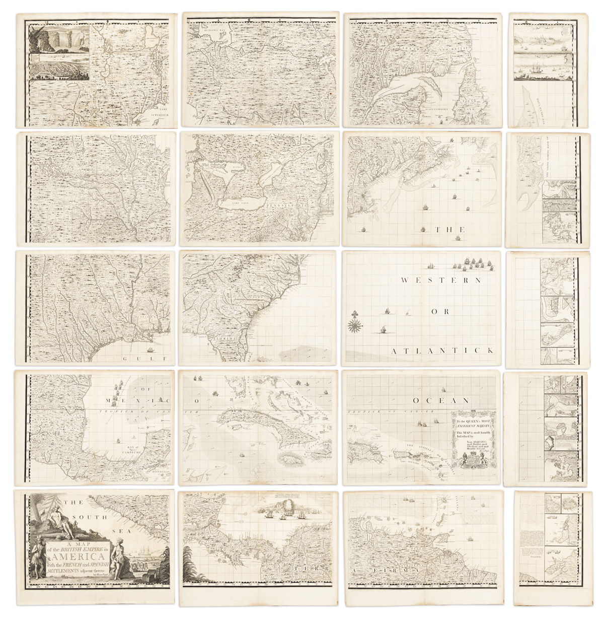
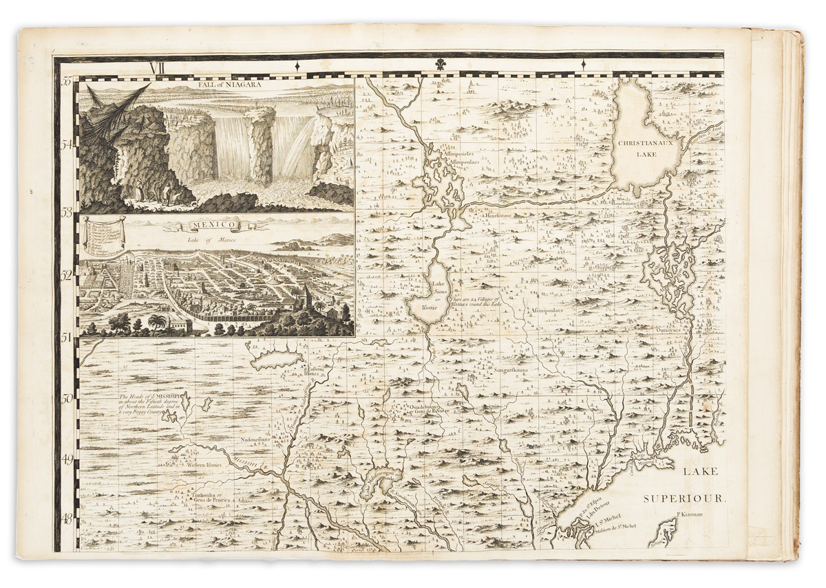
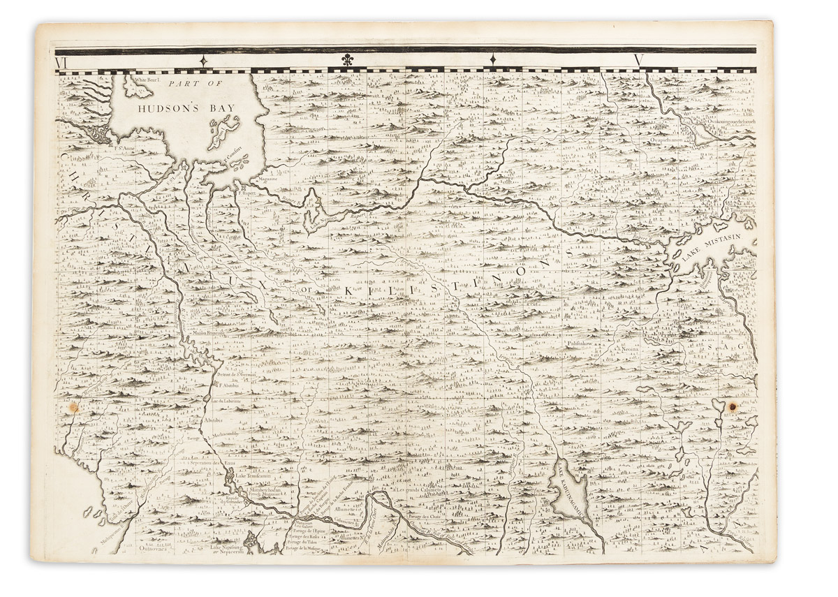
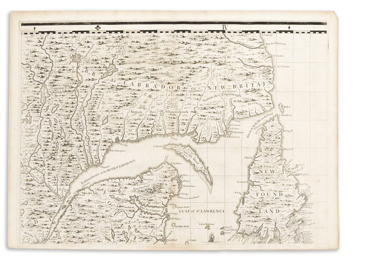
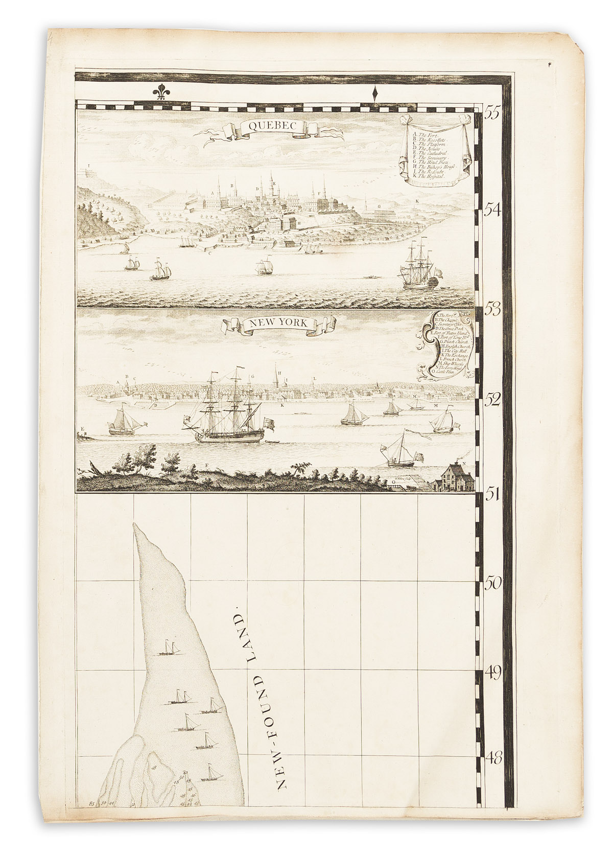
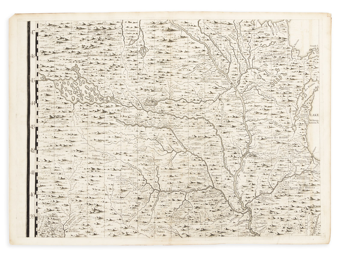
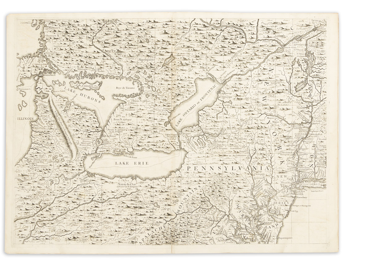
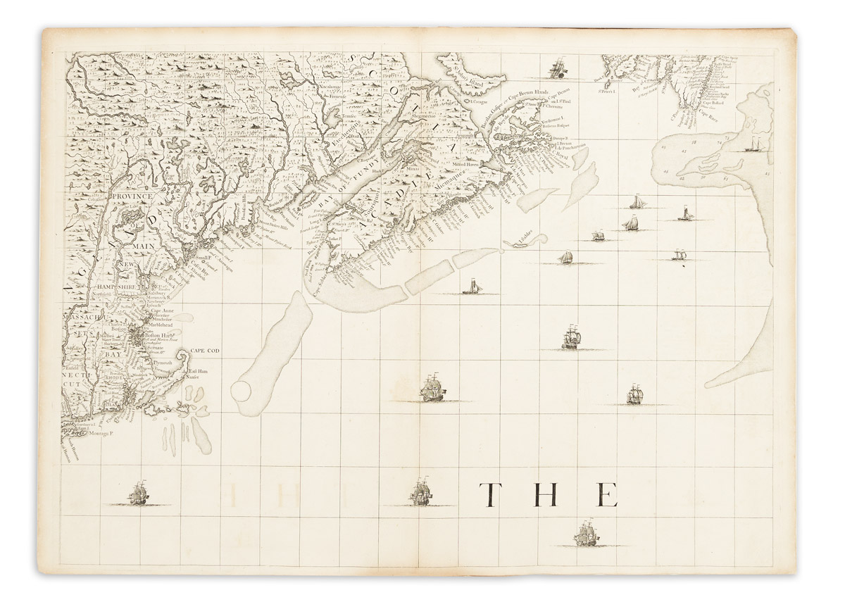
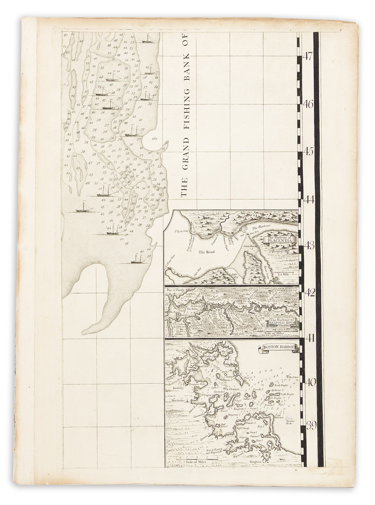
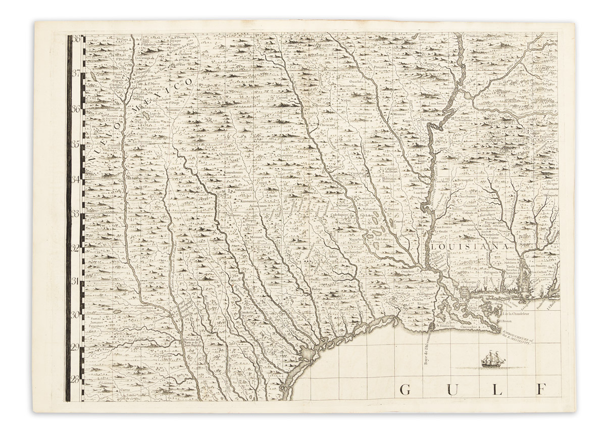
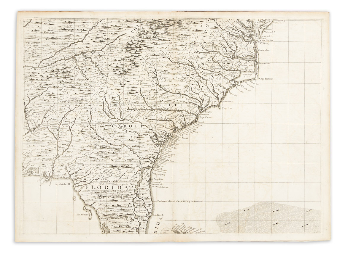
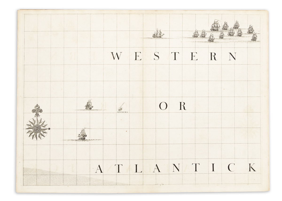
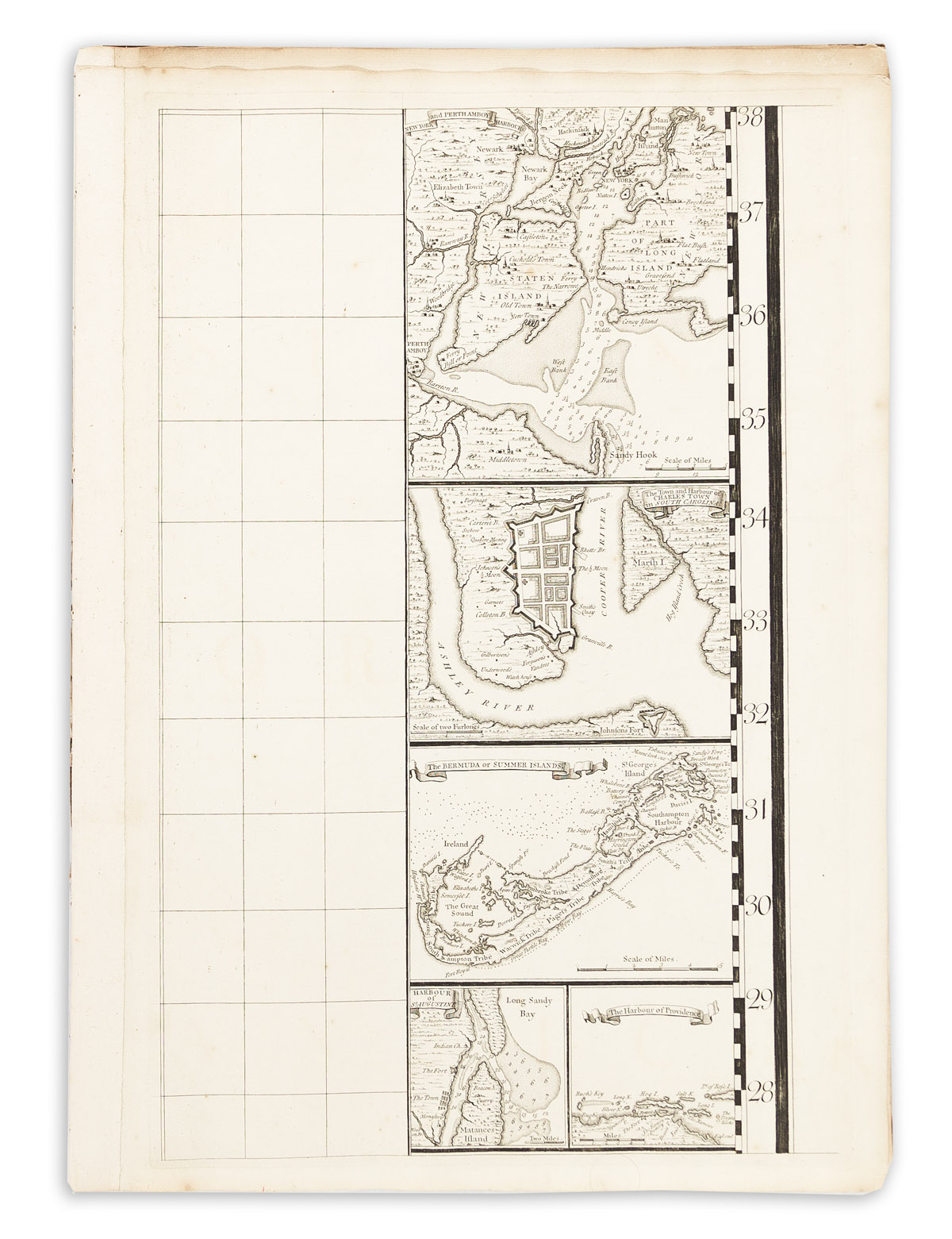
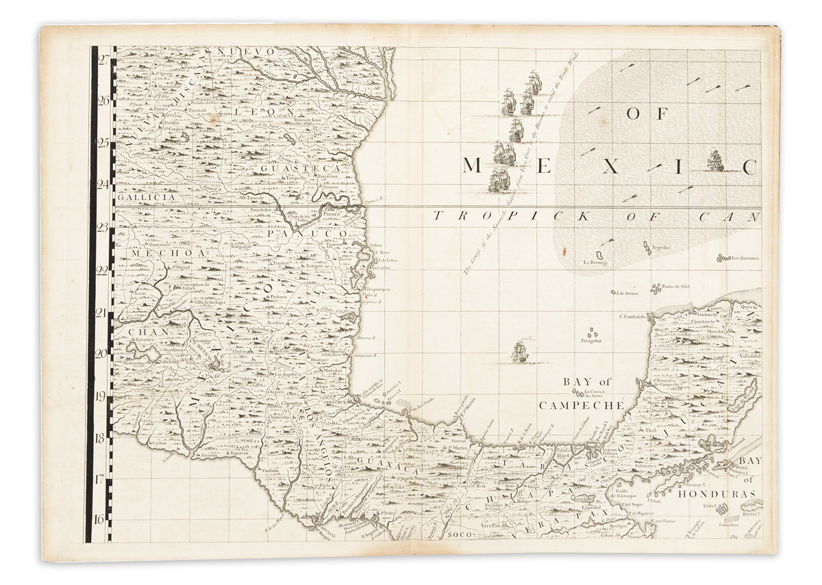
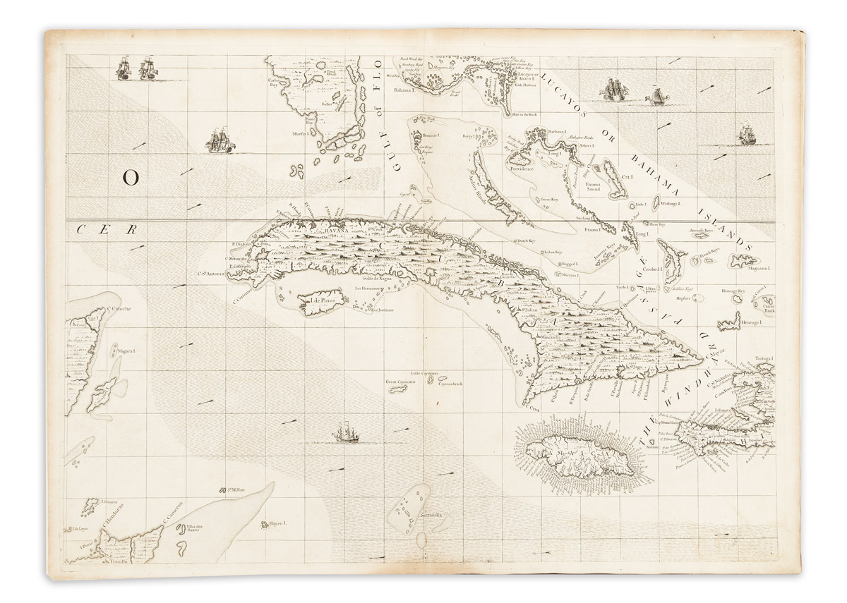
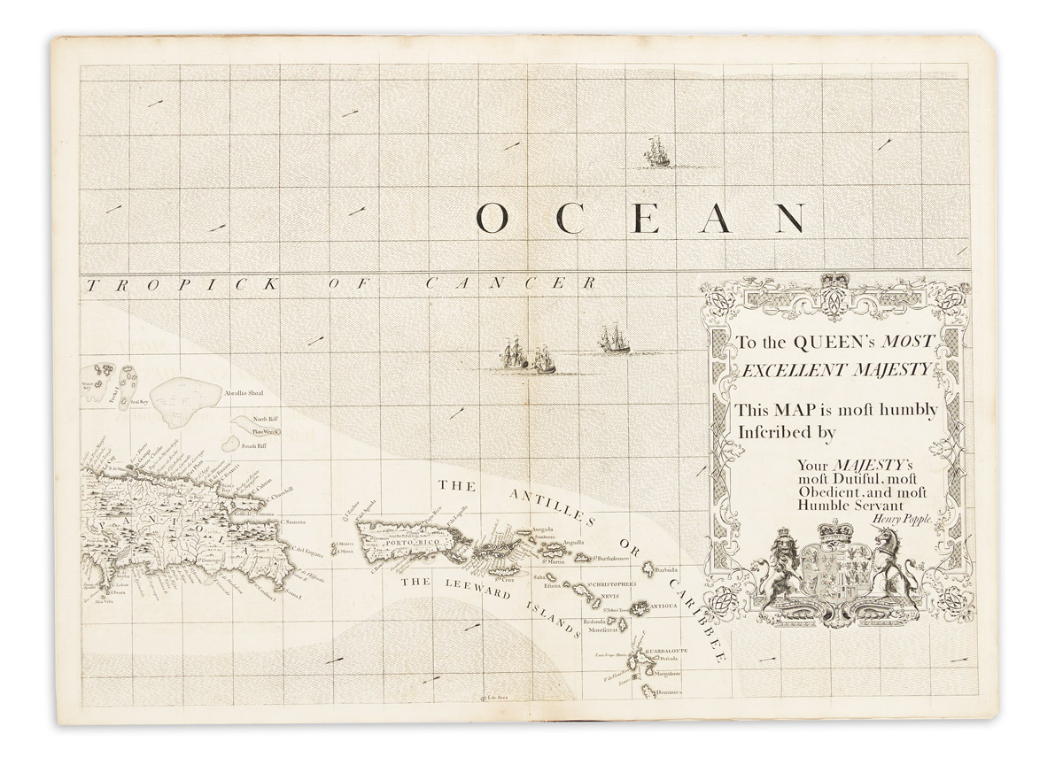
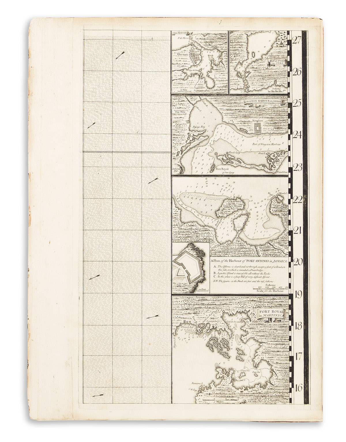
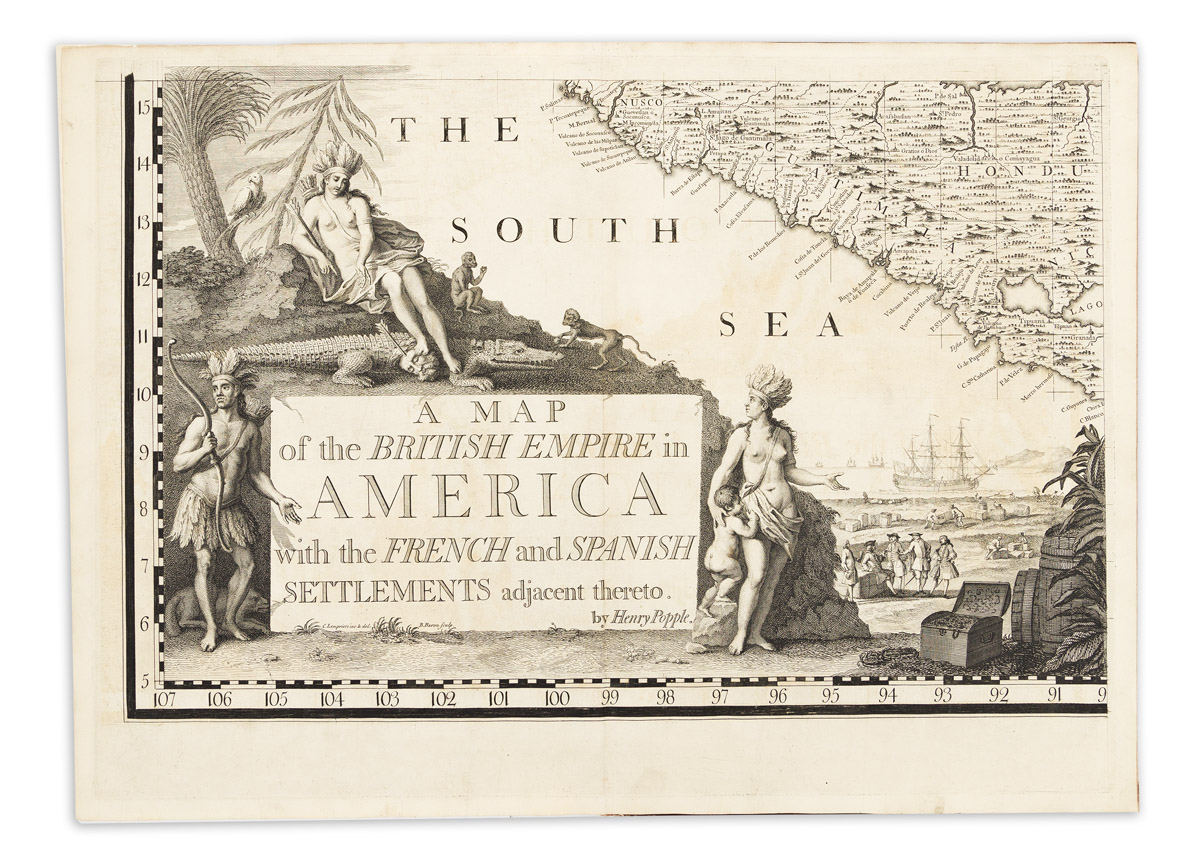
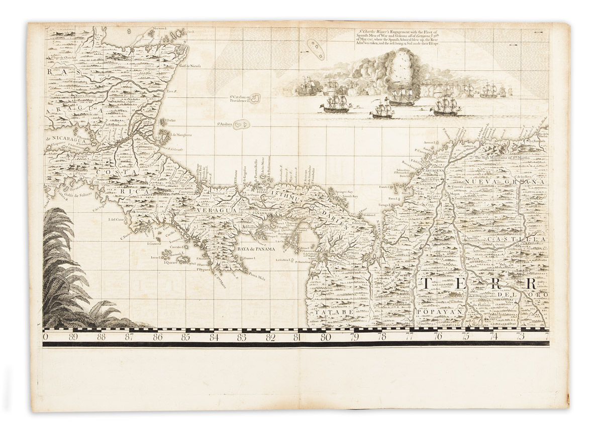
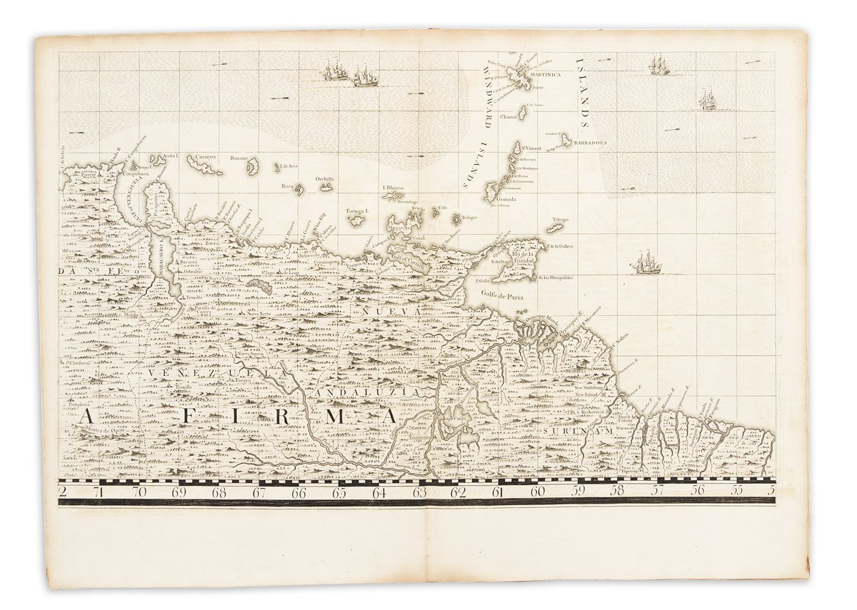
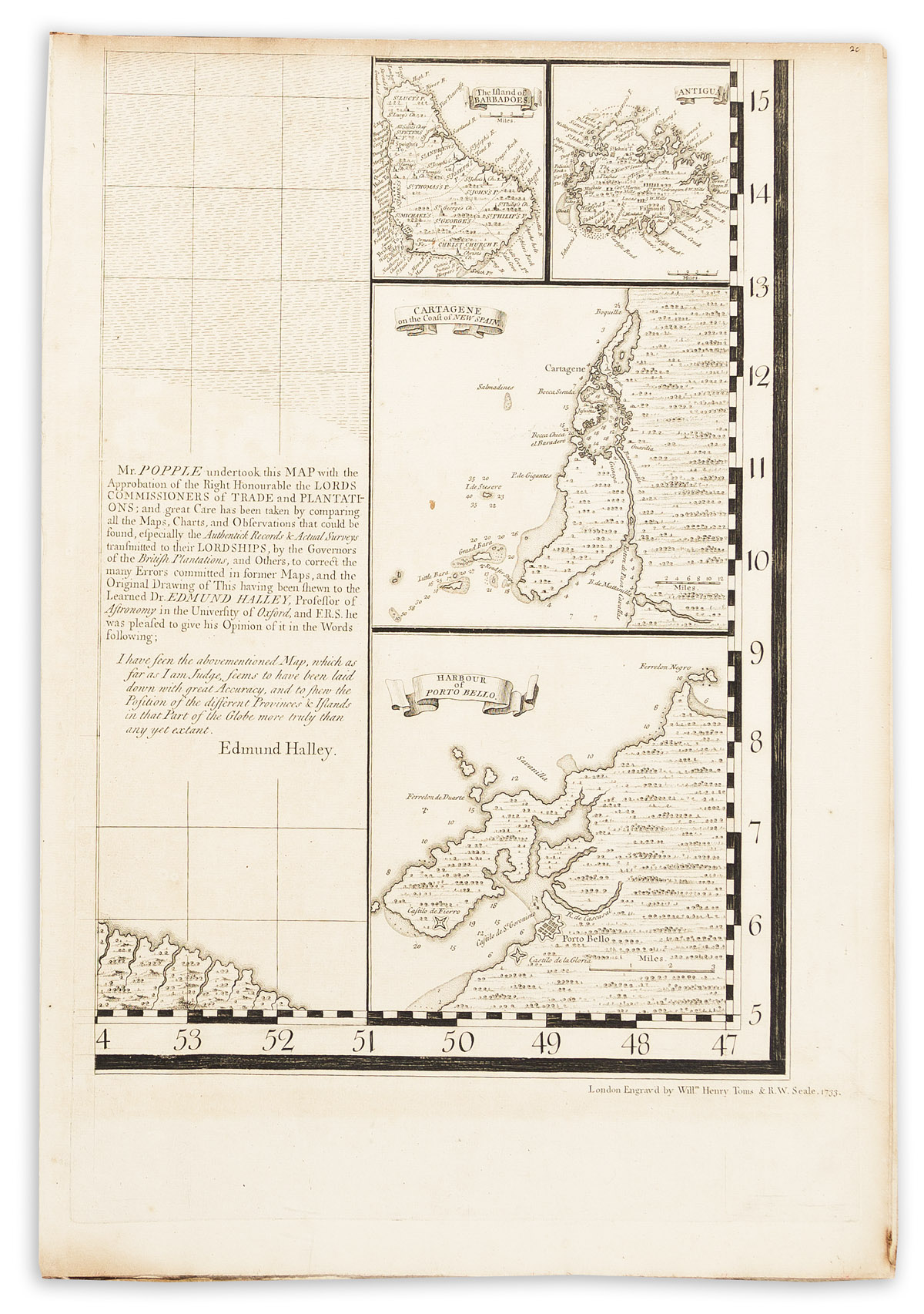
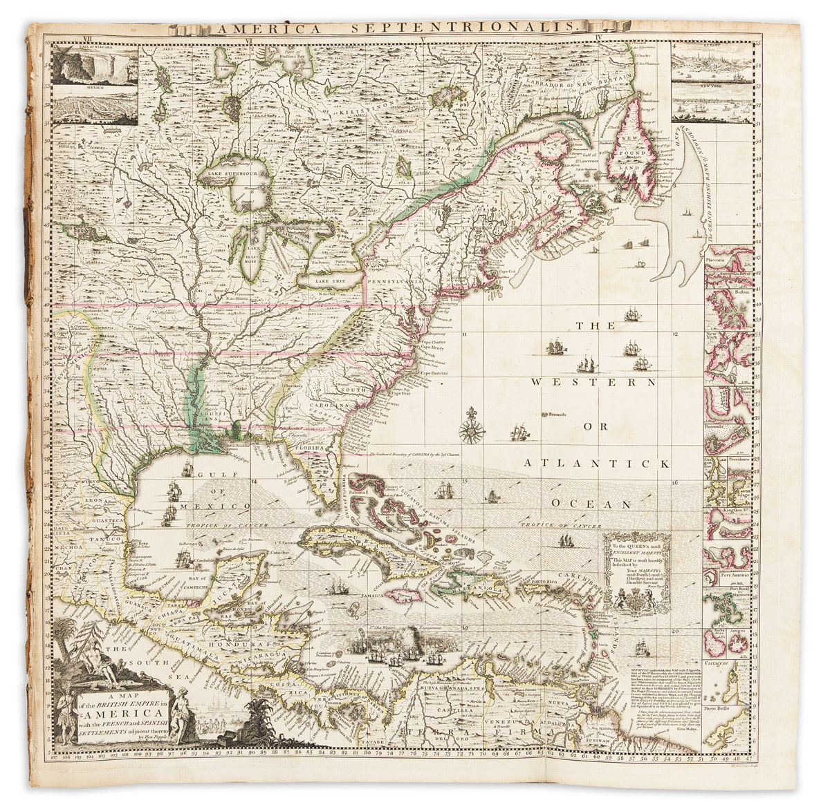
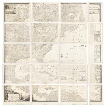
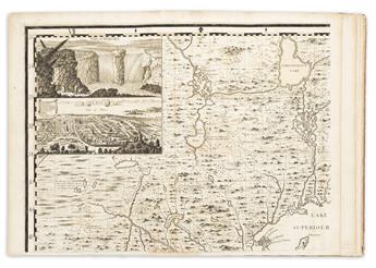
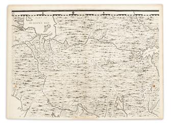
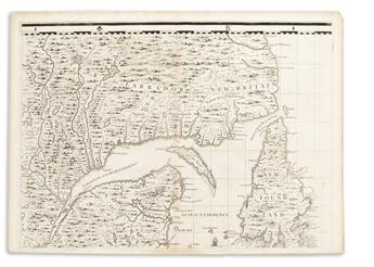
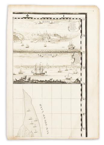
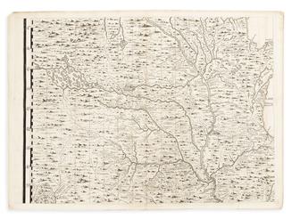
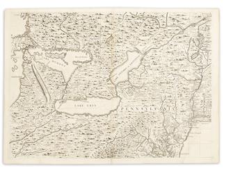
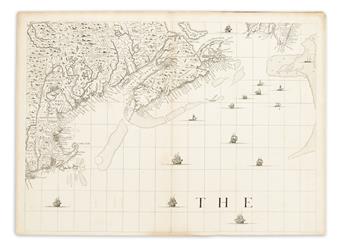
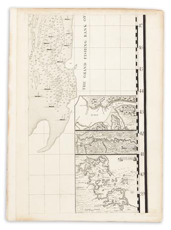
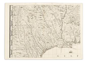
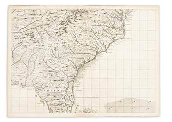
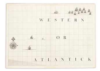
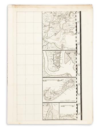
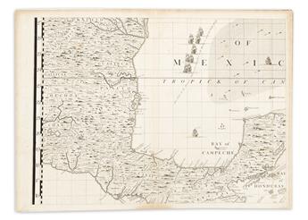
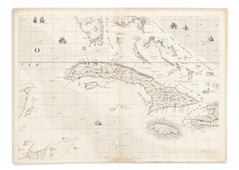
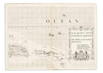
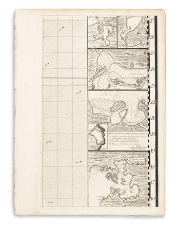
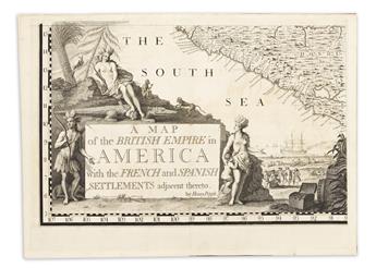
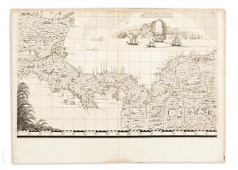
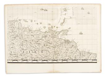
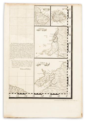
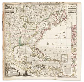
(COLONIAL NORTH AMERICA.) Henry Popple. A Map of the British Empire in America, with the French and Spanish Settlements Adjacent Thereto. Large engraved map of North America with harbor plan border panels. Engraved key map with original hand-color in outline, 20 engraved mapsheets (15 double-page, 5 full-page), without letterpress contents leaves. Folio, 20 1/2x15 inches, contemporary paper boards, worn and disbound; moderate offsetting but generally nice with no major flaws to the sheets; engraved armorial bookplate of British politician John Plumptre. London, 1733 [1734]
Additional Details
The first large-scale, detailed mapping of British, French, and Spanish colonial possessions in North America.
"Popple's map is truly an important piece of Americana - a fundamental centerpiece of any
serious collection of North American maps" -- Mark Babinski, Henry Popple's 1733 Map of the British Empire in America (State 4c; key map state 1).
"Popple's map is truly an important piece of Americana - a fundamental centerpiece of any
serious collection of North American maps" -- Mark Babinski, Henry Popple's 1733 Map of the British Empire in America (State 4c; key map state 1).
Exhibition Hours
Exhibition Hours
Aliquam vulputate ornare congue. Vestibulum maximus, libero in placerat faucibus, risus nisl molestie massa, ut maximus metus lectus vel lorem.


