Dec 10 at 12:00 PM - Sale 2689 -

Sale 2689 - Lot 76

Estimate: $ 1,500 - $ 2,500
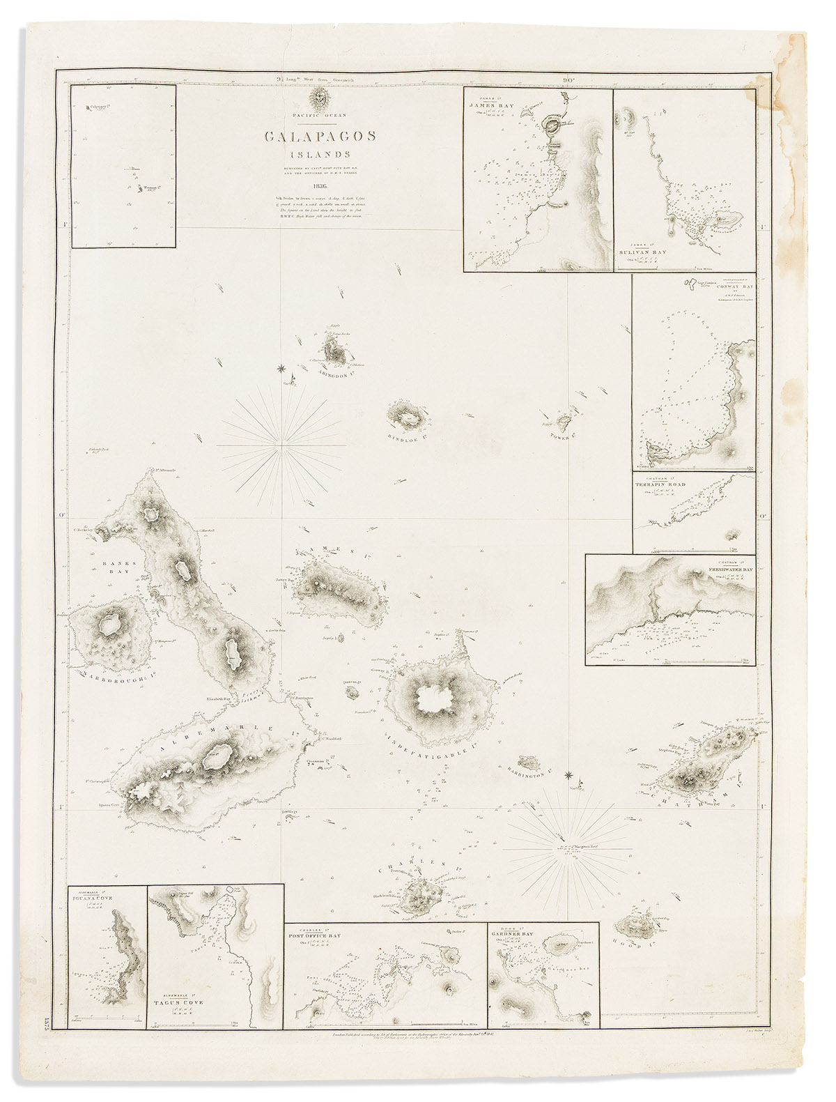
(GALAPAGOS -- DARWIN.) British Admiralty, Hydrographic Office. Pacific Ocean - Galapagos Islands Surveyed by Captn. Robt. FitzRoy R.N. and the Officers of the H.M.S. Beagle. Large engraved chart of the Galapagos archipelago with insets of several bays and coves. Sturdy wove paper, 27x20 inches sheet size, wide margins with untrimmed deckle edges; printed pictorial advertisement for John Kehew's Navigational Store, New Bedford, pasted on verso; neatly closed tear at upper title, marginal staining. London, 1841

Additional Details

Engraved by John and Charles Walker, this is the first truly accurate charting of the equatorial waters around the Galapagos Islands and perfectly characterizes the exactingly detailed survey-work expected of nineteenth-century British Naval officers. The chart was drafted in September/October 1835 on a stop at the Galapagos during the Beagle's second voyage, an important scientific expedition to South America commanded by Robert FitzRoy and one where Charles Darwin famously observed biological and habitual traits of the islands' endemic wildlife - events which greatly influenced his thinking and led to the formation of a groundbreaking theory on natural evolution.