Dec 10 at 12:00 PM - Sale 2689 -

Sale 2689 - Lot 93

Estimate: $ 500 - $ 700
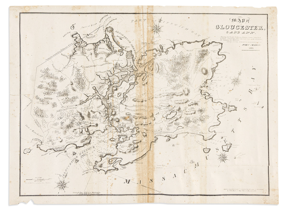
(MASSACHUSETTS.) John Mason. Map of Gloucester, Cape Ann. Shewing the Roads, Harbours, Rivers, Coves, Islands & Ledges Surrounding that Important Cape, with Directions for Entering the Harbours. Detailed lithographed chart of the Cape Ann peninsula from actual surveys by Mason. 2 sheets joined, 22¼x30 inches overall, wide margins; large closed tears, adhesive stain at center seam, scattered foxing. No market records, OCLC identifies 4 institutional examples (all Mass.) Boston: Senefelder Lithographic Co., 1830 [1831]