?Final Price Realized includes Buyer’s Premium added to Hammer Price
Estimate: $ 200 - $ 250
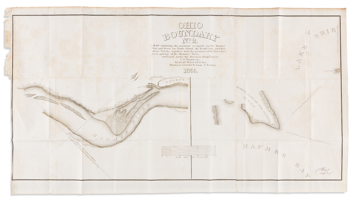
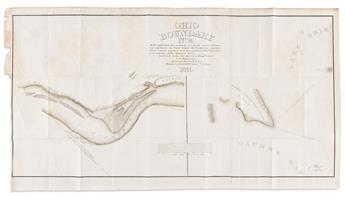
(OHIO/MICHIGAN BOUNDARY DISPUTE.) Irwin, Jason R., draughtsman. Ohio Boundary no. 2. Map exhibiting the positions occupiedon the Maumee Bay and River; viz: Turtle Island, the North Cape, and that above Toledo; together with the position of the "East Line", in its passage of the Maumee River. Two engraved charts on two sheets joined. 20 3/4x37 inches overall; folding, scattered foxing and small stains. Washington, D.C., 1835
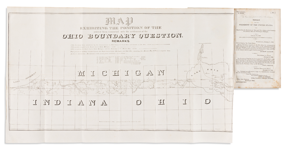
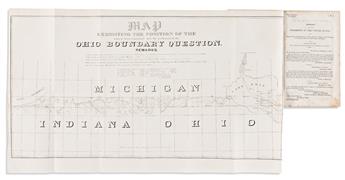
with:Map Exhibiting the Position of the Several Lines Connected with the Settlement of the Ohio Boundary Question. Reduced. Engraved map of the Michigan, Indiana, and Ohio boundary line. 15x25 1/4 inches, folding into 7-page pamphlet of the 24th Congress, 1st Session; modern paper wrappers. Washington, D.C., 1836.