Dec 10 at 12:00 PM - Sale 2689 -

Sale 2689 - Lot 117

Estimate: $ 500 - $ 700
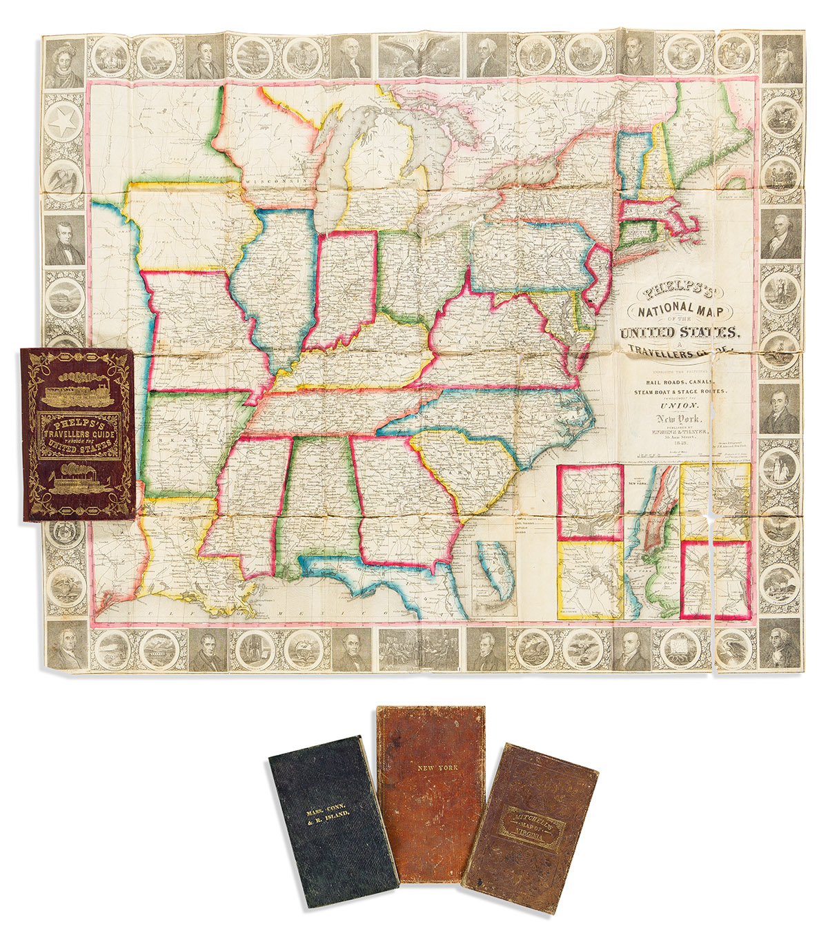
(POCKET MAPS.) Group of 4 nineteenth-century engraved maps. Vp, vd

Additional Details

John M. Atwood; and William D. Smith. Phelps's National Map of the United States, A Travellers Guide. Engraved pocket map of the eastern United States with inset city plans surrounded by a border of 30 state emblems and 16 bust portraits of American presidents and important statesmen. 21x25 inches overall and folding into publisher's 12mo format gilt roan case, rebacked; original hand-color in outline; mounted on modern linen backing with small losses along folds. New York: Ensign & Thayer, 1848.

Andrus & Judd. The States of Massachusetts, Connecticut and Rhode Island from the Best Authorities. Engraved pocket map of those New England states and surrounding vicinity. 17x20½ inches overall and folding into publisher's 12mo format gilt-blocked roan case; original hand-color; scattered stains, fold lines archivally reinforced on verso. Hartford, 1833.

Andrus & Judd. The State of New York from the Most Recent Surveys. Engraved pocket map of New York with an elevation profile of the Erie Canal. 16½x20 inches overall and folding into publisher's 12mo format gilt-blocked roan case; original hand-color; closed tears and small losses. Hartford: E. Huntington, 1832.

James Hamilton Young. The Tourist's Pocket Map of the State of Virginia Exhibiting Internal Improvements. Engraved pocket map of Virginia (still with West Virginia) with an inset plan of Washington, D.C. and statistical tables. 13x15½ inches overall and folding into publisher's 12mo format gilt-and-blind-stamped roan case; small repaired losses. Philadelphia: S. Augustus Mitchell, 1846.