May 26, 2016 - Sale 2417

Sale 2417 - Lot 183

Price Realized: $ 3,750
?Final Price Realized includes Buyer’s Premium added to Hammer Price
Estimate: $ 3,000 - $ 5,000
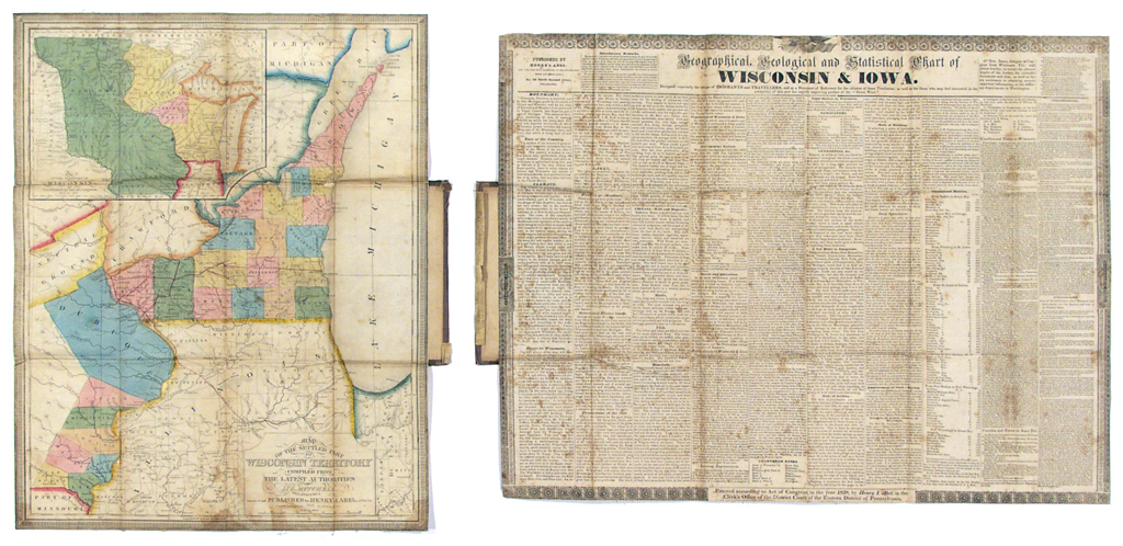
(WISCONSIN & IOWA.) Abel, Henry. Map of the Settled Part of Wisconsin Territory Compiled from the Latest Authorities. Engraved folding map, with Geographical, Geological, and Statistical Chart of Wisconsin & Iowa, both folding into original covers (detached). Map measures 21 3/4x17 1/2 inches; chart measures 19 1/2x25 3/4 inches. Full original hand-color; good condition. Philadelphia: S. Augustus Mitchell, 1838

Additional Details

scarce. A handsome travelers' and emigrants' guide to the newly-formed Wisconsin Territory, also showing parts of Iowa, and with an inset of the Northwest Territory. Separately issued maps of the area, from this period, are quite rare. We find only two other examples of this map having been offered in the last 20 years.