Dec 05, 2017 - Sale 2464

Sale 2464 - Lot 254

Price Realized: $ 3,250
?Final Price Realized includes Buyer’s Premium added to Hammer Price
Estimate: $ 4,000 - $ 6,000
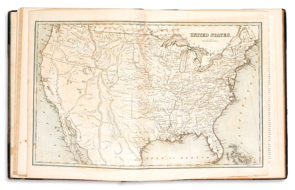
BRADFORD, THOMAS GAMALIEL. An Illustrated Atlas, Geographical, Statistical, and Historical of the United States, and the Adjacent Countries. Additional hand-colored engraved title, 39 engraved maps and plans (United States double-page) hand-colored in outline. Folio, 16 1/2x13 1/2 inches, publisher's half roan with gilt morocco lettering piece on upper cover, a little rubbed but generally very sound, wax seal residue to pastedowns; occasional minor foxing and offsetting. Boston: Weeks, Jordan and Company, 1838

Additional Details

Bradford's Illustrated Atlas, noted as being the earliest American atlas to contain a map of the Republic of Texas (here, the first issue in outline hand-color and without the city of Austin.) The maps of North America, United States, her individual states, territories and cities, the West Indies and Provinces of Canada are supplemented with lengthy geographical descriptions, one of the first American atlases to include explanatory text of this nature. Ristow, 270-271; Phillips Atlases 1381.