Dec 05, 2017 - Sale 2464

Sale 2464 - Lot 258

Price Realized: $ 5,750
?Final Price Realized includes Buyer’s Premium added to Hammer Price
Estimate: $ 7,000 - $ 10,000
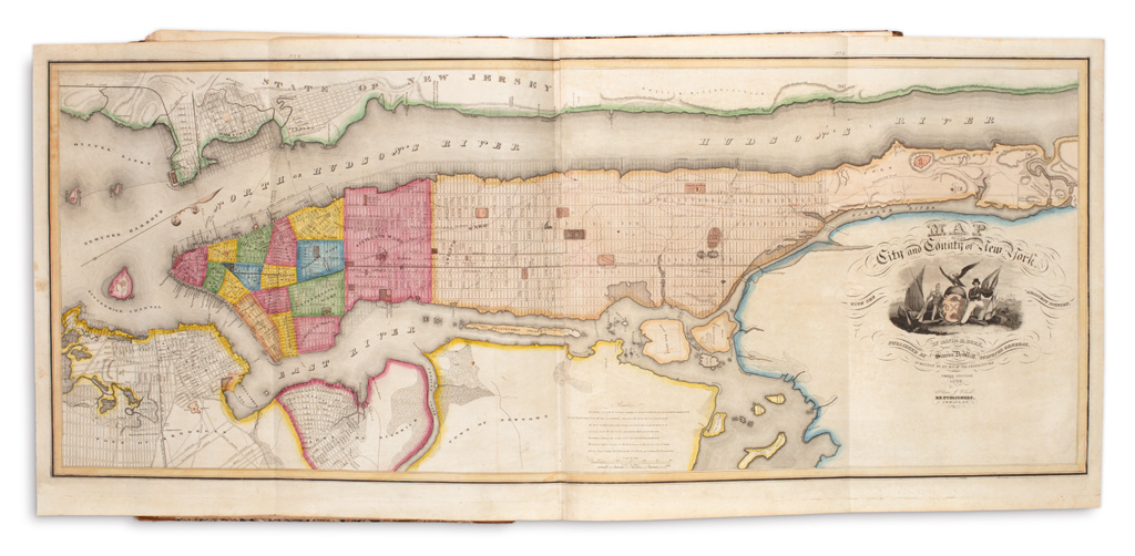
BURR, DAVID H. An Atlas of the State of New York. Engraved vignette title and 51 hand-colored engraved maps on 52 sheets each accompanied by a leaf of descriptive letterpress text. Large folio, 22x18 inches, contemporary half calf over marbled paper boards, spine and extremities rubbed, upper cover just starting but holding firm; endpapers creased, map of Steuben County with a small tear in lower margin, final few maps with some light foxing and soiling; contemporary ownership inscription of Willard Richardson of Steuben County in ink on front endpaper. Ithaca: Stone and Clark, 1839

Additional Details

Compiled by Burr with support of Surveyor General Simeon DeWitt and the New York State Legislature, this is only the second printed atlas dedicated entirely to a single state, following only Robert Mills' atlas of South Carolina which appeared in 1825. Including large folding maps of Manhattan and Long Island, the atlas contains beautifully hand-colored detailed maps of the entire state by county. The general state map is dated 1840, all others dated 1839. Phillips, Atlases 2206; Ristow, pages 104-105.