Dec 08, 2015 - Sale 2401

Sale 2401 - Lot 34

Price Realized: $ 4,000
?Final Price Realized includes Buyer’s Premium added to Hammer Price
Estimate: $ 5,000 - $ 7,500
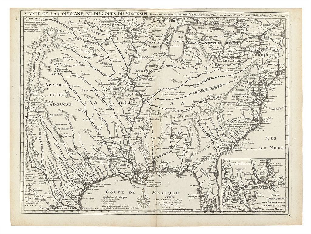
DELISLE, GUILLAUME. Carte de la Louisiane et du Cours du Mississippi Dresee sur un grand nombre de Memoires. . . Double-page engraved map. 520x710 mm, ample margins a bit close at top edge; light toning at centerfold and edges. Paris: Delisle, 1718

Additional Details

First edition, first state. This is Delisle's cornerstone map of 1718, a milestone for the mapping of America in general, and the Mississippi watershed and Texas in particular. Delisle's was one of several maps issued for the French market in the post-1713 lead-up to the Mississippi Bubble. However, unlike similar maps from this period, Delisle's would have significant cartographic influence beyond the 1720s; his use of accurate contemporary sources, namely François le Maire, set this map apart and ensured its place in history. Jackson, Mapping Texas and the Gulf Coast, pages 21-68.