Dec 08, 2016 - Sale 2434

Sale 2434 - Lot 36

Price Realized: $ 25,000
?Final Price Realized includes Buyer’s Premium added to Hammer Price
Estimate: $ 8,000 - $ 12,000
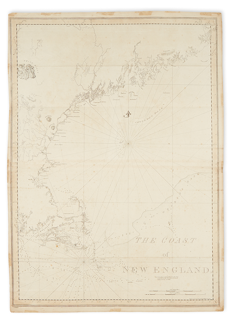
DES BARRES, JOSEPH FREDERICK WALLET. The Coast of New England. Large engraved chart on two sheets of laid paper, joined, each bearing "LVG" watermark. 43 1/4x30 1/4 inches sheet size, ample margins; minor foxing, light mounting tape discoloration in margins, few tiny edge flaws. [London:] J.F.W. Des Barres, April 24, 1776

Additional Details

Published in Des Barres' Atlantic Neptune during the Revolutionary War period, this chart is remarkably accurate for its time. Compiled from surveys supervised by Samuel Holland, the chart provides an excellent coastal view of New England's Atlantic seaboard from Narragansett Bay to Passamaquoddy Bay. The shorelines of Martha's Vineyard, Nantucket, Cape Cod, Boston Harbor, and Mt. Desert Island are the key hydrographical locations, while hints of inland information are conveyed as well, such as the White Hills, Lake Winnipesaukee, the Kennebec and Penobscot Rivers. The map is nicely balanced with a large blocked title in the lower right quadrant and centrally radiating rhumb lines. Stevens 83E, state 5 (of 8).