Jun 07, 2017 - Sale 2450

Sale 2450 - Lot 61

Price Realized: $ 4,750
?Final Price Realized includes Buyer’s Premium added to Hammer Price
Estimate: $ 5,000 - $ 7,000
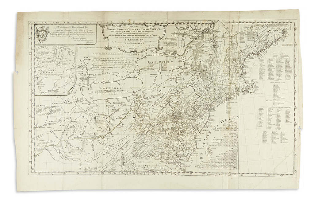
EVANS, LEWIS; and POWNALL, THOMAS. A Map of the Middle British Colonies in North America. First Published by Mr. Lewis Evans, of Philadelphia, in 1755. Large engraved folding map on two sheets joined; original outline hand-color; light toning along folds and at left margin, few small marginal tears, lower right margin trimmed for binding purposes. London: J. Almon, 1776

Additional Details

Pownall's authorized edition of Evans' seminal map of Colonial America, updated here to show greater detailed information in the northeastern region. Many other pirated editions of the map were published throughout the eighteenth century, but this is the only issue to be printed from the original copper-plate engraved by James Turner in Philadelphia. The cartography branches westward into the Ohio River valley noting petroleum, coal mines, rivers, and land conditions, all of which would have been compelling to settlers looking to expand into the Alleghenies and Ohio country. "The map is considered by historians to be the most ambitious performance of its kind undertaken in America up to that time, and its publication was a milestone in the development of the printing arts in the colonial period" (Schwartz & Ehrenberg, page 162).