?Final Price Realized includes Buyer’s Premium added to Hammer Price
Estimate: $ 40,000 - $ 60,000
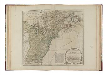
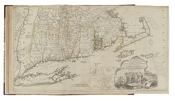
THE UNITED STATES RECOGNIZED IN AN ATLAS JEFFERYS, THOMAS; SAYER, R.; and BENNETT, J. The American Atlas, or a Geographical Description of the Whole Continent of America. Title, index, and 23 engraved maps on 30 sheets, many of which folding and with old outline hand-color. Folio, 550x390 mm, modern 1/2 leather over marbled boards; some of the maps with edge faults (as usual, and rarely affecting image) stabilized with Japanese tissue, very few tears professionally repaired, large repair to front flyleaf. London: R. Sayer and J. Bennett, 1782 [but summer 1783]
Jefferys' American Atlas was one of the four great atlases of the Colonies available during the Revolution - along with Faden's North American Atlas, Des Barres' Atlantic Neptune, and Jefferys and Sayer's A General Topography of North America - and it was certainly the most actively published and used.
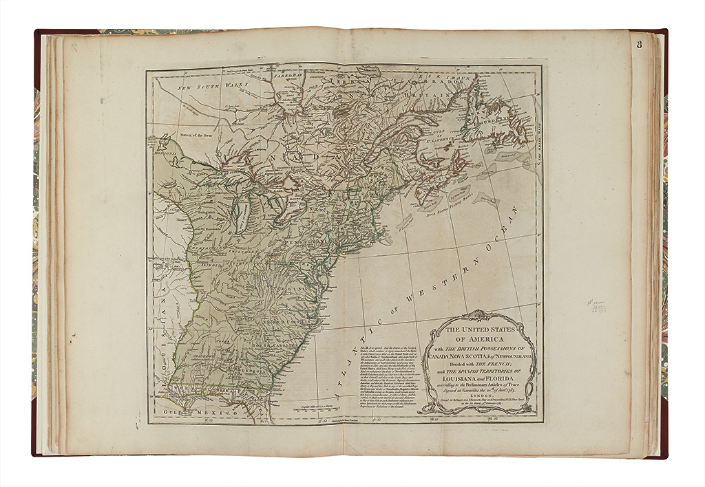
This edition is of particular interest, as it is the first national atlas issued after the cessation of hostilities to proclaim the existence of the United States. Although the title page is dated 1782, in actuality it was almost certainly issued after the June 20, 1783 iteration of the Treaty of Paris, but before August 15, 1783. The operative maps are Stevens & Tree's numbers 4(e) [map 1]; 49(h) [maps 5-6]; and 51(d) [map 7], all of which rank among the very first English-language maps to include "United States" (or some allusion thereto) in the title.
Sayer & Bennett were quick to update the American Atlas to conform to the developments across the Atlantic and with the negotiations at Versailles (indeed they went to press before the thing was officially settled), however demand for the book must have been far weaker than it was during the actual fighting, and examples of this edition are rarer than their wartime counterparts. P1169 is a 1782-but-1783 issue, although that example wants the important seventh map declaring the United States. The next post-war edition of the atlas would come more than a decade later, in 1794, when resurrected by Laurie & Whittle.
Provenance: William Pyne; Frederic Bronson.
Map list and condition report available on request.