Jun 03, 2014 - Sale 2352

Sale 2352 - Lot 77

Unsold
Estimate: $ 2,000 - $ 3,000
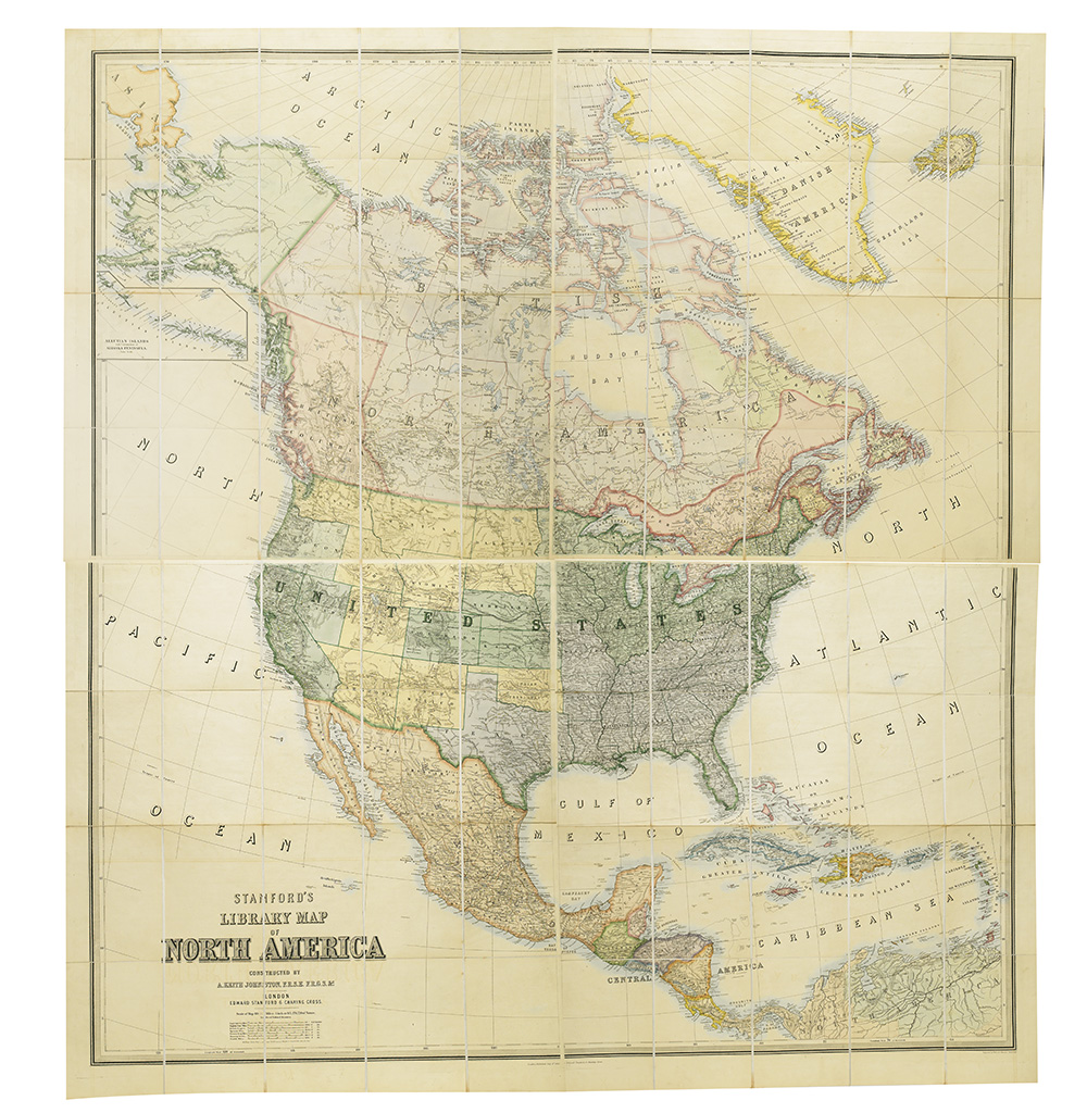
JOHNSON, A. KEITH; and STANFORD, EDWARD. Stanford's Library Map of North America. Large hand-colored lithographed case map disected and laid on 4 linen sheets, each consisting of 20 sections, 1700x1570 mm overall; original linen; striking original hand-color; housed in a gilt morocco box in book form, quite worn, top detached. A beautiful example of the map. London, 01 July 1863 [but second half 1860s]

Additional Details

This state differs from the Babinski example from 1863, which we sold in 2005; it depicts a separate West Virginia, and numerous boundaries have shifted among the western states and territories. It seems likely that it was actually published around 1866, or so. The Confederacy and Union are colored grey and green, respectively, however this was a convention which Johnson apparently practiced until at least 1875 (see Rumsey 946).