Dec 08, 2016 - Sale 2434

Sale 2434 - Lot 66

Price Realized: $ 10,625
?Final Price Realized includes Buyer’s Premium added to Hammer Price
Estimate: $ 6,000 - $ 9,000
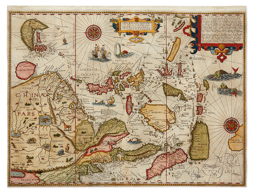
LINSCHOTEN, JAN HUYGEN VAN. Exacta & accurata delineatio cum orarum maritimarum tum etjam locorum terrestrium quae in regionibus China, Cauchinchina, Camboja Sive Champa, Syao, Malacca, Arracan & Pegu, una cum omnium vicinarum descriptione ut sunt Sumatra, Java utraq, Timora, Moluccae, Philippinae... nec non insulae Japan... Double-page engraved map of China and the East Indies. 15 3/4x20 3/4 inches sheet size; attractively hand-colored; issued folding now pressed flat, few small repaired tears, margins close to the plate mark. Amsterdam, 1596

Additional Details

Fine early map of China, Korea, Japan, the Philippines, East Indian Islands and the Malay Archipelago which appeared in Linschoten's Itinerario, one of the most important travel narratives of its time. Linschoten's work served as a general opening of the waterways to the heretofore seriously guarded 16th century Portuguese trading empire in China and the Far East to commercially interested Europeans. This map represents a cornerstone component of the book, compiling contemporary sources and information the author obtained first-hand during his several years long stint in Goa and from Portuguese portolan charts. The geography is simultaneously fanciful and accurate for the period. Many decorative elements add to the allure of the map, including a pair of compass roses, sea monsters, animals, galleons and spectacular Mannerist strap-work design in the cartouches.