Dec 08, 2016 - Sale 2434

Sale 2434 - Lot 67

Price Realized: $ 11,250
?Final Price Realized includes Buyer’s Premium added to Hammer Price
Estimate: $ 3,000 - $ 5,000
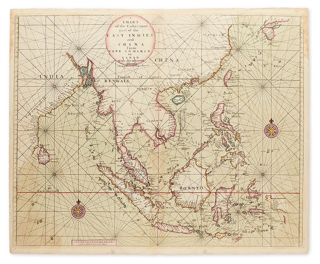
MOUNT, RICHARD; and PAGE, THOMAS. A Chart of the Eastermost Part of the East Indies and China from Cape Comarin to Japan with the Adjacent Islands. Double-page engraved sea chart. 19x23 1/4 inches sheet size; original hand-color with additions of gold; minor waterstaining in upper corner margins, smallest repair to centerfold in top margin. London, 1702

Additional Details

A very rare English sea chart of Southeast Asia originally included in Mount and Page's "Atlas Maritimus Novus." This is one of the earliest English charts of the area, following those of John Seller and John Thornton with the geography showing great improvements by contrast to its Dutch counterparts of the preceding century.