Dec 08, 2015 - Sale 2401

Sale 2401 - Lot 50

Price Realized: $ 13,750
?Final Price Realized includes Buyer’s Premium added to Hammer Price
Estimate: $ 10,000 - $ 15,000
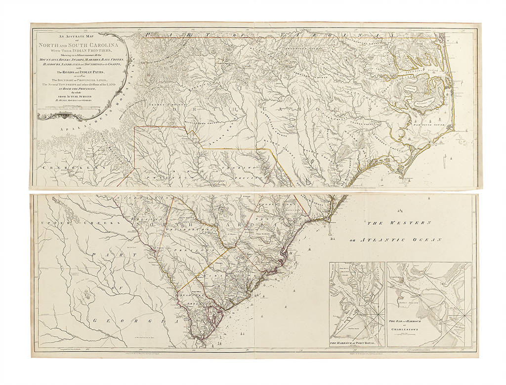
MOUZON, HENRY. An Accurate Map of North and South Carolina. Large engraved four-sheet map, with horizontal sheets joined to make two, as usual. Each double-sheet approximately 540x1440 mm, ample margins, hand-colored in outline; very expert reinforcements of right margin on verso. Overall a handsome example of this map, which is often found with substantial condition issues. London: Robt. Sayer and J. Bennett, May 30th, 1775

Additional Details

"This map, which extends from the coastal area of the two Carolinas westward to the Appalachian mountains in the Cherokee country, was the chief type-map for the region during the forty or fifty years following its publication. It was used by both British and American forces during the Revolutionary War"--Cumming 450. Stevens & Tree 11(a).