Dec 08, 2015 - Sale 2401

Sale 2401 - Lot 51

Price Realized: $ 3,250
?Final Price Realized includes Buyer’s Premium added to Hammer Price
Estimate: $ 2,500 - $ 3,500
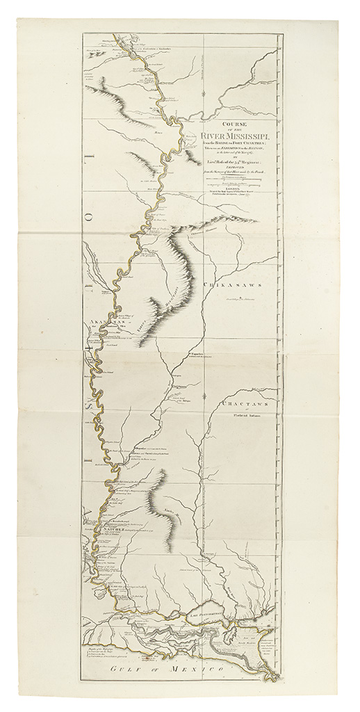
ROSS, JOHN. Course of the river Mississipi, from the Balise to Fort Chartres; taken on an Expedition. Engraved folding map of the lower Mississippi. 1190x555 mm, wide margins; old outline hand-color, probably original; nice example but for some very light foxing around one fold. London: Robt. Sayer, 1775

Additional Details

Ross' plan was the Mississippi-focused map featured in Jefferys' American Atlas and most examples of Faden's North American Atlas. Throughout the Revolutionary War it was the most detailed military plan of the area, and this, the second edition, includes additional information around New Orleans. Stevens & Tree 31(b).