Dec 08, 2015 - Sale 2401

Sale 2401 - Lot 52

Price Realized: $ 3,750
?Final Price Realized includes Buyer’s Premium added to Hammer Price
Estimate: $ 3,000 - $ 5,000
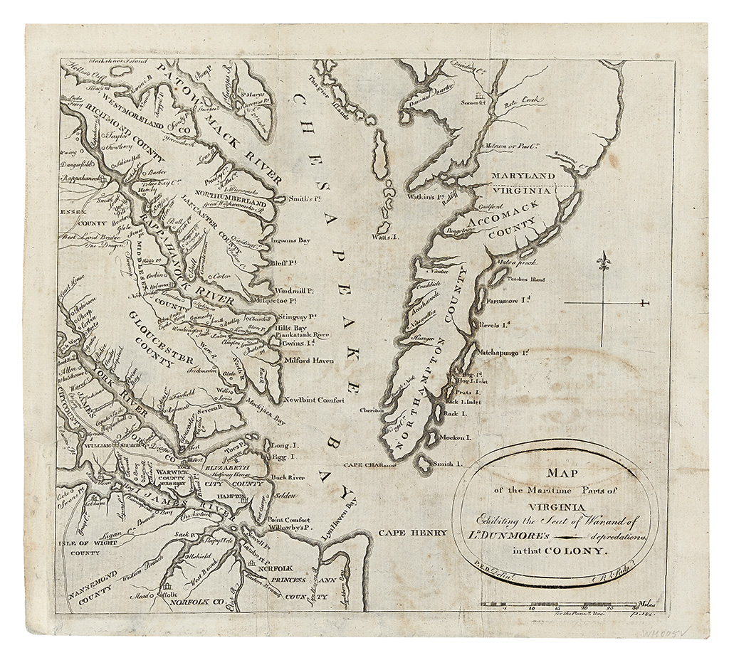
AITKEN, ROBERT; and SIMITIERE, PIERRE EUGENE du. Map of the Maritime parts of Virginia exhibiting the Seat of War and of Ld. Dunmore's depredations in that Colony. Small format engraved folding map of the Chesapeake Bay, originally issued in The Pennsylvania Magazine. 275x310 mm, ample margins except at lower left where expertly reinstated; backed with archival tissue, expert cleaning and repairs to tears in the image. Presents very well, but sold as is. [Philadelphia: R. Aitken, early May 1776]

Additional Details

"THE FIRST SEPARATE MAP OF VIRGINIA TO BE DRAWN, ENGRAVED, PRINTED, AND PUBLISHED IN AMERICA." -- VERNER. This map is closely based on the lower right section of the Fry and Jefferson. This particular example can be traced to the Coolie Verner collection and was illustrated in his article: "The Aitken Map of Virginia", Imago Mundi, XVI, 1962. Jolly, 299; Morrison, On the Map, 43; Wheat and Brun, 540 (as the first map listed under "Virginia").