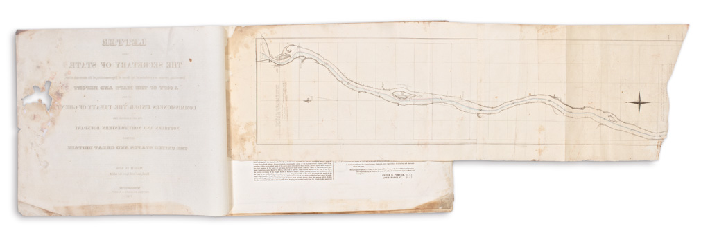
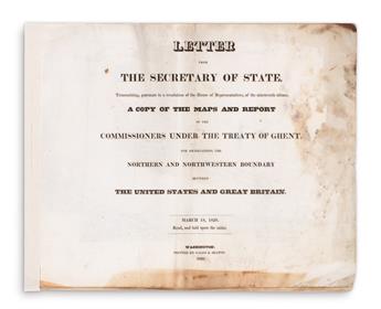
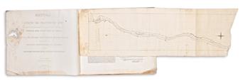
U.S. DEPARTMENT OF STATE. Letter from the Secretary of State, Transmitting, Pursuant to a Resolution of the House of Representatives,of the Nineteenth Ultimo, a Copy of the Maps and Report of the Commissioners Under the Treaty of Ghent, for Ascertaining the Northern and Northwestern Boundary Between the United States and Great Britain. 6 lithographed maps with partial hand-color (one folding), letterpress title and one leaf of commissioner's text. Oblong folio, 16 1/4x20 1/2 inches, modern stitching at left edge, housed in a modern cloth clamshell box; extensive water damage and staining to leaves and maps, each archivally lined with thin tissue on verso, folding map with loss of terminal section. Washington, D.C.: Gales & Seaton, 1828
Very scarce set of maps illustrating the commissioners report to determine the United States-Canadian boundary dispute in the Great Lakes region according the 6th and 7th articles of the Treaty of Ghent following the War of 1812. New and more adequate surveys were undertaken which established less ambiguous boundaries especially in the context of lakes and rivers separating the U.S. and British territories. "Neither the series nor individual maps is recorded in Phillips or Karpinski. The only copy located by the Union Catalog is in the U. S. State Department Library. This folio edition is not to be confused with the octavo edition that consists only of text" (Streeter sale 1080); OCLC locates only two copies of this folio edition.